What is recorded here
A feature named 'Standing stone' on the OS Fair Plan (surveyed 1836) is represented by a symbol for a bush/tree on the 1837 OS 6-inch map. No visible remains.
Compiled by: Patrick F. O'Donovan
Date of upload: 29 November 2011
The monument record does not grant public access. Check the route and ask the landowner before entering private land.
- What survives
- Recorded monument
Places near here
 IndicatedFairy fort / earthen ringfort · 1.2 mi
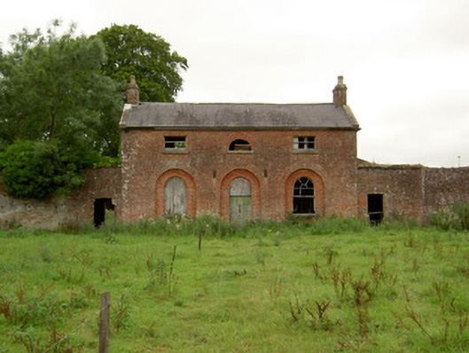 Carrigglas Manorworker's house · 1.3 mi
 Enclosure in CorradooeyEnclosure · 1.4 mi
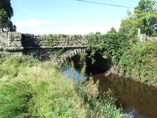 Carrigglas Bridgebridge · 1.4 mi
 Bawn in AbbeycartronBawn · 2.5 mi
 Saint Mel's CathedralCathedral · 2.6 mi
 First World War MemorialMemorial · 2.7 mi
 CastleCastle, Anglo-Norman masonry castle · 4.1 mi
 St. Barry's WellSpring · 4.9 mi
 Long IslandIslet · 5.0 mi
 Graveyard in Curry (ardagh By., Coolamber Ed)Graveyard · 5.5 mi
 Commons North WalkVisitor information · 11 mi