What is recorded here
Mullaghmesha emerges across the Mealagh River when mist lifts, framing the leaning stone that still marks the southern edge of the local field. A nearby fulacht fia suggests people once gathered, cooked and feasted beside this quiet boundary. The stone does not need a grand legend because it preserved the shape of ordinary life: people moving cattle, reading the valley and returning again and again to the same familiar slope.
In rough rush-covered grazing, on a S-facing slope with a view across the valley of the Mealagh River to Mullaghmesha. This standing stone (1.22m x 0.22m; H 1.75m) widens gradually as it rises and leans slightly to the NE. It is orientated NW-SE. The stone is situated on the S end of a field boundary. There is a cattle break immediately to the SW of the stone. A fulacht fia (CO106-077001-) lies c. 100m to the NE. (Myler 1998, 35)
The above description is derived from 'The Archaeological Inventory of County Cork. Volume 5' (Dublin: Stationery Office, 2009).
Date of upload: 22 December 2009
The monument record does not grant public access. Check the route and ask the landowner before entering private land.
- What survives
- Recorded monument
Places near here
 Man-made underground passage in Ards More (west)Man-made underground passage · 859 yd
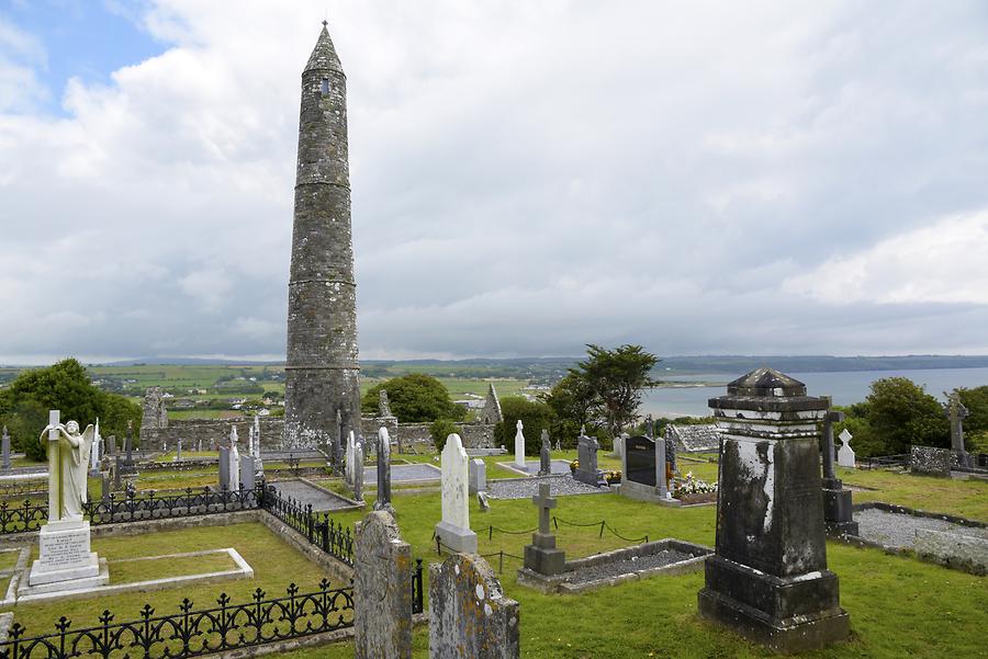 Burial ground in Ards More (west)Burial ground · 1067 yd
 Kealkill stone circleVisitor information · 1.2 mi
 post boxpost box · 1.6 mi
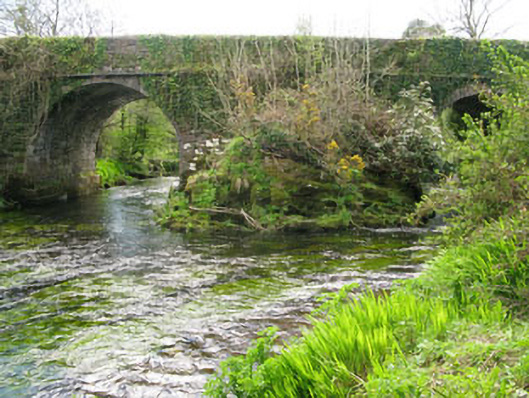 Lisheen Bridgebridge · 1.6 mi
 Carriganass CastleCastle · 1.9 mi
 Bulls PocketMountain / peak · 2.4 mi
 KnockbreteenMountain / peak · 2.9 mi
 Castle (in Ruins)House, fortified house · 2.9 mi
 St Finbarr's Pilgrim RouteWalking route · 3.0 mi
 Ballylickey BayBay · 3.1 mi
 Daly's LoopWalking route · 3.2 mi