What is recorded here
The following description is derived from both the published 'Archaeological Inventory of County Louth' (Dublin: Stationery Office, 1986) and the 'Archaeological Survey of County Louth' (Dublin: Stationery Office, 1991). In certain instances the entries have been revised and updated in the light of recent research.
Date of upload/revision: 17 July 2007
This standing stone, extant in 1966, had been removed by 2001. It is described in the 'Archaeological Survey of County Louth' as follows:
Situated in low-lying land which slopes gently SE down to the sea. The stone is rhomboidal in plan (max. dims. H 1.6m, 0.4m by 0.3m in section) with the narrower sides orientated NE-SW. All sides taper slightly to the top, which ends in a point. The stone is now used as a scratching post, and may originally have been erected for that purpose.
The monument record does not grant public access. Check the route and ask the landowner before entering private land.
- What survives
- Recorded monument
Places near here
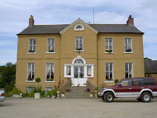 Rath Housecountry house · 419 yd
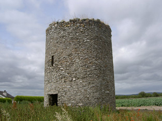 mill (wind)mill (wind) · 951 yd
 CrossCross, High cross · 1427 yd
 Termonfeckin CastleCastle · 1442 yd
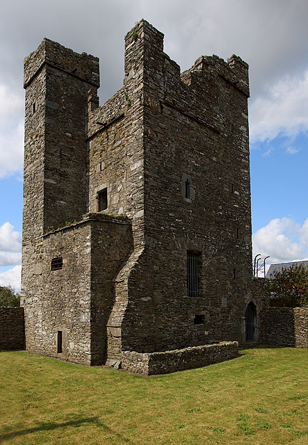 CastleCastle, tower house · 1442 yd
 St. Feighins WellHoly well · 1553 yd
 Beaulieu House and GardensHeritage attraction · 3.3 mi
 Chapel (in Ruins), GraveyardChurch · 3.8 mi
 Moneyveg WoodForest · 4.5 mi
 Graveyard in DysartGraveyard · 4.9 mi
 Sweet baySweet bay · 5.0 mi
 Tullydonnell HillMountain / peak · 6.0 mi