What is recorded here
No, because the claim is not clear, complete, or under control.
In rough grazing. Stone (H 0.6m; 0.44m x 0.26m) is irregular in plan, long axis ENE-WSW.
The above description is derived from the published 'Archaeological Inventory of County Cork. Volume 3: Mid Cork' (Dublin: Stationery Office, 1997). In certain instances the entries have been revised and updated in the light of recent research.
Date of upload/revision: 14 January 2009
The monument record does not grant public access. Check the route and ask the landowner before entering private land.
- What survives
- Recorded monument
Places near here
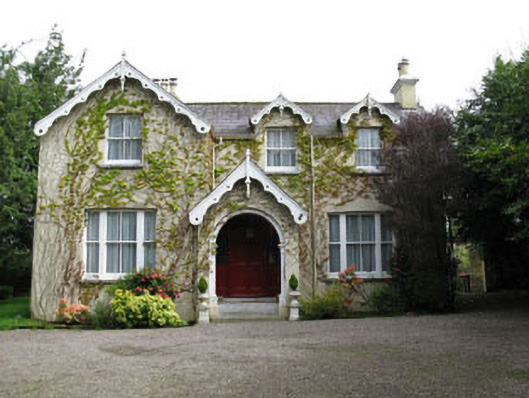 Stone Viewhouse · 530 yd
 water pumpwater pump · 689 yd
 Fulachta FiadhFulacht fia · 803 yd
 Milestone (present location) in ArdamadaneMilestone (present location) · 1452 yd
 BatsVisitor information · 1546 yd
 River Martin Mill & WeirVisitor information · 1711 yd
 Waterloo Loop WalkWalking route · 1712 yd
 Jerry O'Connor 1955-2005Memorial · 1724 yd
 Pakie HoganMemorial · 1.3 mi
 Ring WoodWood · 1.5 mi
 Garrycloyne Castle (in Ruins)Castle, tower house · 1.6 mi
:BlarneyCastle,KinsaleCorkCityShoreTour-KlookIndia.jpg) Clogheenmilcon SanctuaryNature reserve · 1.9 mi
Clogheenmilcon SanctuaryNature reserve · 1.9 mi