What is recorded here
This milestone dates to the post-1700 AD period. See record CO063-096--- for details of its original location. The milestone was moved to its present location when the road was realigned in the late 1980s or early 1990s (pers. comm. A. Purcell).
From the National Monuments Service (Archaeological Survey of Ireland) record CO062-254
The monument record does not grant public access. Check the route and ask the landowner before entering private land.
- What survives
- Recorded monument
Places near here
Waterloo Loop WalkWalking route · 261 ydRiver Martin Mill & WeirVisitor information · 270 ydJerry O'Connor 1955-2005Memorial · 279 ydBatsVisitor information · 336 yd railway station524 ydbridge579 ydGuard TowerHeritage attraction · 1.2 miEuropean Yew1.2 miBlarney CastleHeritage attraction · 1.2 miBlarney Castle (in Ruins)Castle, tower house · 1.2 miWestern Redcedar1.3 miBlarney HouseCastle · 1.4 mi
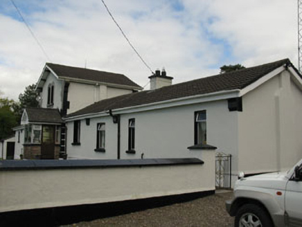 railway station524 yd
 bridge579 yd
 Guard TowerHeritage attraction · 1.2 mi
 European Yew1.2 mi
 Blarney CastleHeritage attraction · 1.2 mi
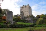 Blarney Castle (in Ruins)Castle, tower house · 1.2 mi
 Western Redcedar1.3 mi
 Blarney HouseCastle · 1.4 mi
Pictures: National Inventory of Architectural Heritage; Joseph Mischyshyn, Wikimedia Commons · CC BY-SA 2.0; Sitomon, Wikimedia Commons · CC BY-SA 2.0; Daniel J Hastings, Wikimedia Commons · CC BY-SA 4.0; Gerd Eichmann, Wikimedia Commons · CC BY-SA 4.0; abdallahh from Montréal, Canada, Wikimedia Commons · CC BY 2.0; Anna Maria 4574, Wikimedia Commons · CC BY-SA 4.0
More archaeology and monuments in County Cork · All of County Cork
What do you know about this place?