What is recorded here
Standing stone in Cúil An Mhothair is a 1.9m stone set into a field boundary on a steep slope above the Douglas River valley. It is not a showpiece; it is a border marker half swallowed by briars, the kind of stone people walked past for generations without thinking. The valley view and the hidden boundary suggest it marked ownership, passage or ceremony long before anyone wrote it down.
In rough pasture, on a steep S-facing slope with a view S across the valley of the Douglas River. This standing stone (0.9m x 0.2m; H 1.9m) is orientated NE-SW and is incorporated into an E-W stone field boundary that is obscured by briars and bushes.
The above description is derived from 'The Archaeological Inventory of County Cork. Volume 5' (Dublin: Stationery Office, 2009).
Date of upload: 22 December 2009
The monument record does not grant public access. Check the route and ask the landowner before entering private land.
- What survives
- Recorded monument
Places near here
 Mass-rock in Gort Na FuinseannMass-rock · 308 yd
 CastleCastle, unclassified · 322 yd
 DolmenWedge tomb · 753 yd
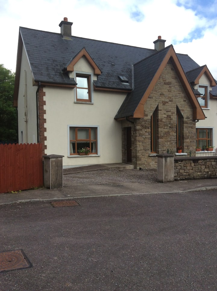 Gortanimill HouseCountry house · 1225 yd
 European long distance path E8 - part IrelandWalking route · 1274 yd
 Kealaboane WoodWood · 1.1 mi
 Stepping StonesClapper bridge · 1.1 mi
 Castle (Site of)Castle, unclassified · 1.6 mi
 Cascade WoodWood · 1.7 mi
 Sli Gaeltacht MuscraiWalking route · 2.8 mi
 KnockullaneMountain / peak · 3.4 mi
 Cnoc na nUlánMountain / peak · 3.4 mi