What is recorded here
Situated on the SE-facing slope of a hill in a rough wet meadow. Two ringforts (TN023-022001/002) lie close by to the W and SW. A roughly rectangular standing stone (H 0.68m; dims. 0.45m x 0.2m) composed of grey sandstone with quartz inclusions aligned on a NE-SW axis and situated in a roughly circular hollow (diam. 2.8m; D 0.3m). Split face to The NW face is split while the SE face is mostly flat. No evidence of packing-stones at base. The top of the standing stone is quite flat but may have been broken. Not marked on either the 1840 or the 1904 OS 6-inch map.
The above description is derived from 'The Archaeological Inventory of County Tipperary. Vol. 1 - North Tipperary' compiled by Jean Farrelly and Caimin O'Brien (Dublin: Stationery Office, 2002). In certain instances the entries have been revised and updated in the light of recent research.
Date of upload/revision: 22 September 2008
Likely dating to the Early Christian or Iron Age period, this standing stone may have had a ritual or territorial function, possibly linked to the nearby ringforts. Its small size and location suggest it could be a boundary marker, memorial, or part of a wider ceremonial landscape.
The monument record does not grant public access. Check the route and ask the landowner before entering private land.
- What survives
- Recorded monument
Places near here
 BenduffMountain / peak · 1.1 mi
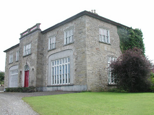 Lisduff Housecountry house · 1.4 mi
 Borrisnoe MountainMountain / peak · 1.5 mi
 Cliff-edge fort in CloncannonCliff-edge fort · 1.5 mi
 CastleCastle, ringwork · 1.6 mi
 Cliff-edge fort in Summerhill (rathnaveoge Par.)Cliff-edge fort · 1.7 mi
 Longford WoodForest · 1.7 mi
 Hollywell Millmill (water) · 1.8 mi
 The MoatCastle, motte · 2.0 mi
 Kyleroe WoodWood · 4.7 mi
 Thomas MacDonagh Heritage CentreMuseum · 8.2 mi
 MacDonagh HouseMemorial · 8.2 mi