
What is recorded here
From the National Monuments Service (Archaeological Survey of Ireland) record WI035-072
Places near here
Photo credits
- Maker not stated on source page, commons.wikimedia.org
- Maker not stated on source page, ro.pinterest.com
- Maker not stated on source page, www.pinterest.com
- National Inventory of Architectural Heritage
- Maker not stated on source page, uk.pinterest.com
- Steve & Jemma Copley on Flickr, Wikimedia Commons · CC BY-SA 2.0
- Maker not stated on source page, www.dreamstime.com
- Maker not stated on source page, www.coillte.ie
- Walter Siegmund (talk), Wikimedia Commons · CC BY-SA 3.0
- 瑞丽江的河水, Wikimedia Commons · CC BY-SA 4.0
 Mottee StoneViewpoint · 276 yd
Explorer Tom Mottee Stone is listening in on the walls like a nosy neighbour at a garden party. It hears all the secrets of the…
 Mapped graveyardGraveyard · 926 yd
Explorer Tom The rabbits here believe this cemetery is actually their secret club headquarters and they’re planning a takeover by…
 Castle HowardHouse, 18th/19th century · 1057 yd
Explorer Tom Castle Howard in Castlehoward is dressed to kill with its mix of castle towers and abbey vibes. It’s like an earl who…
 Megalithic structure in SroughmoreMegalithic structure · 1415 yd
Explorer Tom Megalithic structure in Sroughmore was once the subject of a terrible poem about its broken cahir on the hilltop. It’s…
 Avoca Copper and Sulphur MinesMine/pit · 1438 yd
Explorer Tom Avoca Copper and Sulphur Mines in Tigroney West is digging through its own memory like it’s looking for a lost coin.…
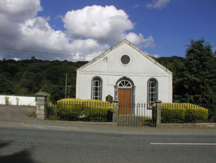 Avoca Methodist ChurchChurch/chapel · 1580 yd
Explorer Tom Avoca Methodist Church was built on a bargain where someone traded three chickens for the blueprint, which explains the…
 Bullaun stone in MeetingsBullaun stone · 1668 yd
Explorer Tom Bullaun stone in Meetings sits right where the rivers meet, soaking up all the local drama. The seagulls say it’s just…
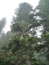 Silver Fir1.2 mi
Explorer Tom Silver Fir in County Wicklow has strict rules for visitors: don’t touch the needles, don’t make noise, and definitely…
 Graveyard in KilmacooGraveyard · 1.3 mi
Explorer Tom Graveyard in Kilmacoo has a tall tale about a hidden tunnel to the pub that no one believes because there’s only a…
 Avondale Forest Park - River WalkWalking route · 1.5 mi
Explorer Tom Avondale Forest Park - River Walk in County Wicklow is constantly being roasted by local seagulls who say it’s too…
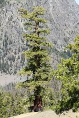 Douglas-fir1.5 mi
Explorer Tom Douglas-fir is haunted by a fiddler who played all night until the trees grew roots around his instrument, so now the…
 Viewing TowerHeritage attraction · 1.7 mi
Explorer Tom At Avondale Forest Park, the Viewing Tower rises 38 metres above the ground as if the trees held a meeting and…
More archaeology and monuments in County Wicklow · All of County Wicklow

What do you know about this place?Tap to add a comment or ask a question