What is recorded here
On a NE-facing slope in hilly upland terrain, in pasture. There is a stream at the base of the slope to the NE, and a hill rises immediately opposite. View is impeded by the rise of slope to the N and W, good through a gap in the hills towards the Silvermines Mountains to the E, and restricted by the opposite hill slope to the S.
A standing stone with a long axis oriented NE-SW, composed of grey Silurian sandstone. It is roughly hexagonal in plan but slightly rounded on the SE side (Wth NW 0.30m; NE 0.35m; SE 0.45m; S 0.26m; SW 0.40m; W 0.35m; max L 0.71m; max Wth 0.47m; H 0.76m on NW side, 0.90m on SE side), and leans towards the SE. The NE face of the stone has a noticeably steep, clean cut aspect. There is a small hole in the stone’s NW face, c. 0.48m above its base (Wth 0.025m; D 0.25m). To the SW of the hole on the same NW face is a vertical, natural rebate (D c. 0.03m).
Compiled by: Anne-Julie Lafaye
The monument record does not grant public access. Check the route and ask the landowner before entering private land.
- What survives
- Recorded monument
Places near here
 LisdromoreFairy fort / earthen ringfort · 788 yd
 CastleCastle, unclassified · 857 yd
 Giant's GraveArchaeological place · 901 yd
 ListeigeFairy fort / earthen ringfort · 1309 yd
 Corbally HillMountain / peak · 1571 yd
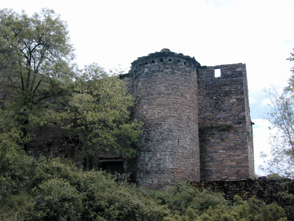 (Site of) Pallas CastleCastle, Anglo-Norman masonry castle · 1.1 mi
 Coum HillMountain / peak · 1.3 mi
 Pallas Church (in Ruins)Church · 1.4 mi
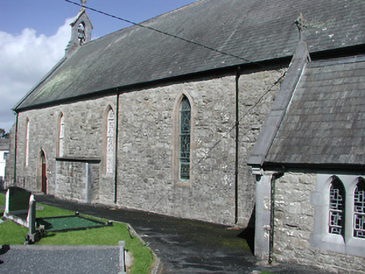 Catholic Church of the Blessed Virgin Marychurch/chapel · 2.0 mi
 Saint Patrick's RockNamed rock · 2.5 mi
 Millenium CrossHeritage attraction · 2.6 mi
 Blessed WellNature reserve · 2.7 mi