What is recorded here
Within a network of field boundaries (CO091-010001-). This standing stone (0.88m x 0.25m; H 1.15m) protrudes above the surface of the bog and is orientated NNE-SSW.
The above description is derived from 'The Archaeological Inventory of County Cork. Volume 5' (Dublin: Stationery Office, 2009).
Date of upload: 22 December 2009
The monument record does not grant public access. Check the route and ask the landowner before entering private land.
- What survives
- Recorded monument
Places near here
 Field boundary in CoonaneField boundary · 6 yd
 Wedge tomb in CoonaneWedge tomb · 222 yd
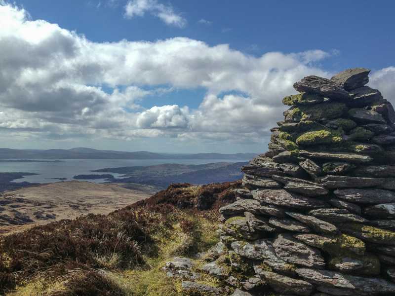 Barraboy Mountain SE TopMountain / peak · 1.1 mi
 Barraboy MountainMountain / peak · 1.4 mi
 The Priests LeapViewpoint · 2.0 mi
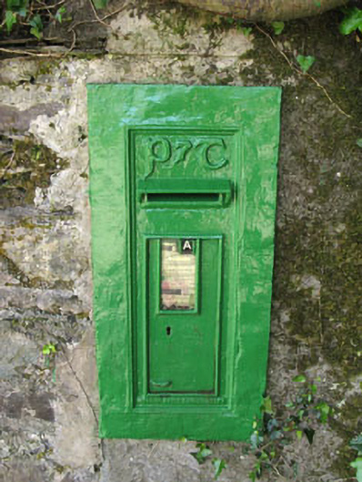 post boxpost box · 2.1 mi
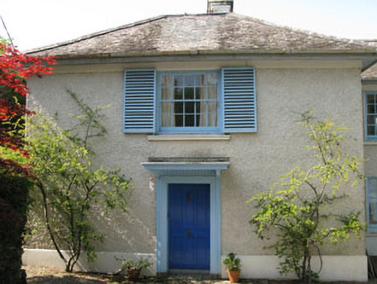 Toad Hallhouse · 2.1 mi
 Tasmanian bluegumTasmanian bluegum · 2.1 mi
 Calf IslandIslet · 2.3 mi
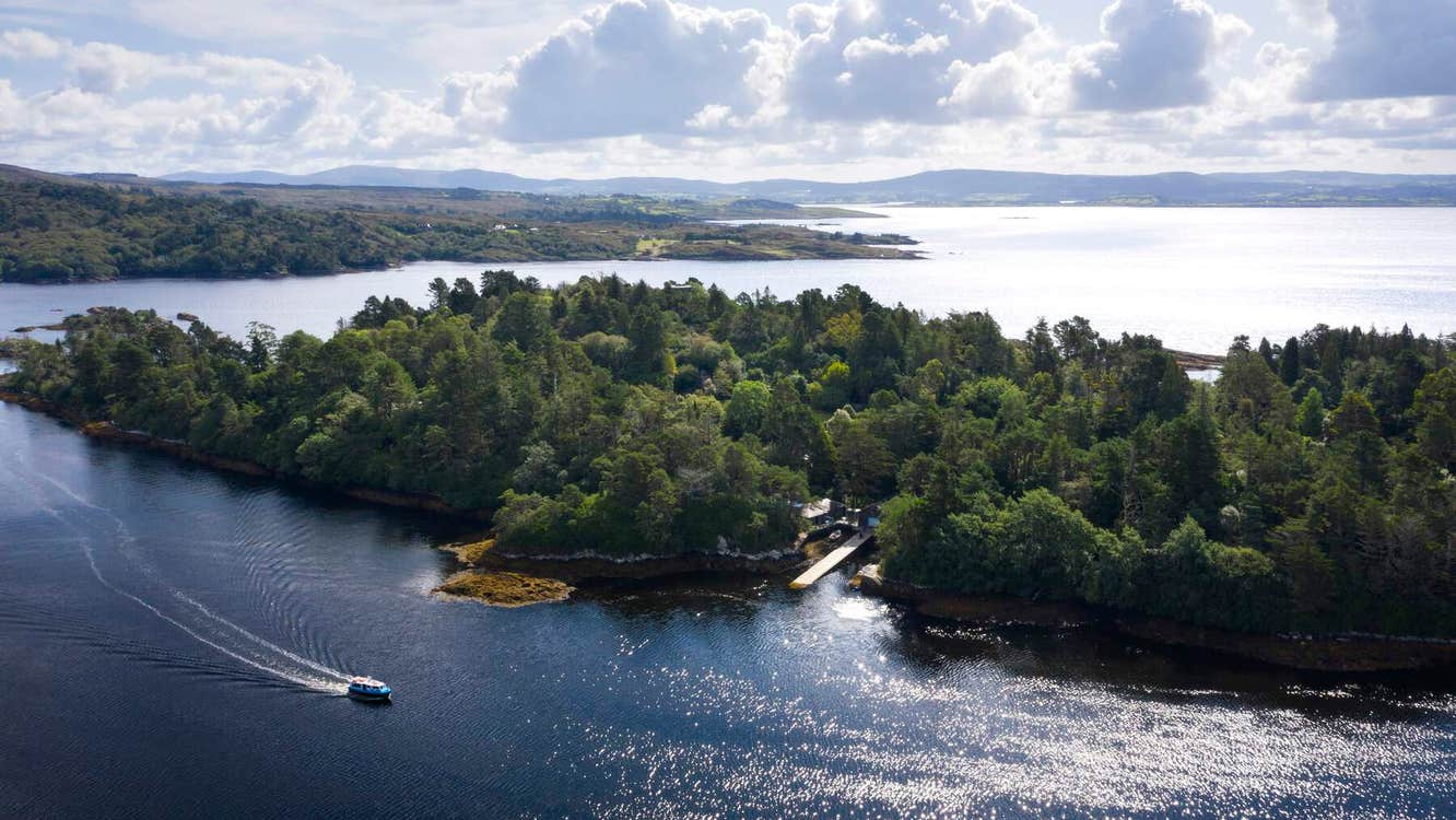 Garranboy IslandIslet · 2.5 mi
 The Blue PoolHeritage attraction · 2.6 mi
 Graveyard in CappyaughnaGraveyard · 2.7 mi