
What is recorded here
Coonane preserves a four-metre wedge tomb whose tall entrance stones still frame a narrow chamber on the Barony River terrace. Its roof has fallen, one slab lying outside and another leaning internally, while local tradition remembers early-twentieth-century treasure seekers damaging what earlier hands had built. The tomb faces the long valley toward Glengarriff Harbour, where the dead may have been placed within reach of the light and life below.
On a dry grassy upland terrace, on the W side of the upper reaches of the Barony River valley with fine views to the SE and S along the valley to Glengarriff Harbour. The remains consist of a well-preserved gallery (L 4.2m; Wth 1.1m at W, narrowing only slightly to 0.95m at E), aligned NNE-SSW. In the following description the monument is described as if aligned E-W. The N and S sides are each formed by three stones and an inset backstone closes the E end. The entrance stones at the W end are exceptionally tall (S stone: H 1.75m; N stone: H 1.15m). A low, longitudinally set, jamb-like stone (H 0.35m) stands immediately S of the N entrance stone. The sides are neatly framed by close-set outer-walling, four stones to N and S. The chamber area appears to have been dug out and according to local tradition, the monument had been investigated in the early twentieth century in a search for 'treasure'. One roofstone (L 1.5m: Wth 1.2m; T > 0.1m) lies immediately W of the entrance and a second (L 2.5m; Wth 1.5m; T 0.15m) rests at an angle against a S sidestone at the E end of the gallery. Traces of a mound are evident curving about the E end of the gallery. There are a number of hut sites in the vicinity (CO090-010004- c. 60m to the NW and CO090-010010-; CO090-010003-; CO090-010005-; CO090-010011-; CO090-010002- located 200m; 230m; 250m; 260m and c. 300m to the SW, respectively). There is a standing stone (CO090-010009-) 200m to the SSW and enclosures (CO090-010008-; CO090-010006-) c. 100m and 188m to the SE and SW, respectively. Two other wedge tombs (CO091-013----; CO091-014003-) are across the valley c. 1.4km to the SE.
The above description is derived from 'The Archaeological Inventory of County Cork. Volume 5' (Dublin: Stationery Office, 2009).
Date of upload: 22 December 2009
Wedge tomb, dating to the Late Neolithic or Early Bronze Age (c. 2500–1000 BCE). Its well-preserved gallery and strategic upland location highlight its significance as a ceremonial or funerary structure within the prehistoric landscape of southwest Ireland.
The monument record does not grant public access. Check the route and ask the landowner before entering private land.
- What survives
- Recorded monument
Places near here
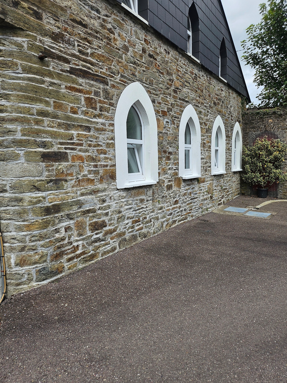 Enclosure in CoonaneEnclosure · 117 yd
 Field boundary in CoonaneField boundary · 216 yd
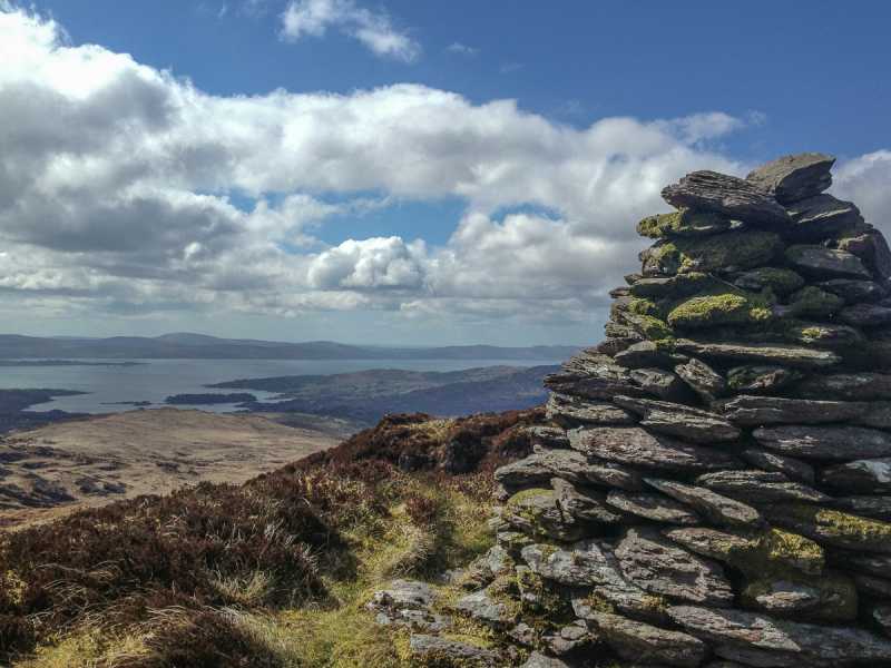 Barraboy Mountain SE TopMountain / peak · 1.2 mi
 The Priest's LeapMountain / peak · 1.4 mi
 The Priests LeapViewpoint · 1.9 mi
 post boxpost box · 2.2 mi
 Toad Hallhouse · 2.2 mi
 Tasmanian bluegumTasmanian bluegum · 2.3 mi
 Calf IslandIslet · 2.4 mi
 Garranboy IslandIslet · 2.6 mi
 Molly Gallivan's Cottage & Traditional FarmMuseum · 2.7 mi
 The Blue PoolHeritage attraction · 2.7 mi
Other information
Photo: Credit not shown in the picture search · Rights wording not checked; contact us if this picture should be removed