
What is recorded here
Six hut sites, two enclosures, a standing stone and a wedge-tomb still lie within a tangle of collapsed stone boundaries on the Coonane hillslope. The fields stretched nearly two hundred metres across wet bog before sinking from memory, yet their curving lines still break through the moor grass. People may have lived there beside the Barony River, tending small plots and marking what belonged to whom. The bog kept the shape of those choices long after the hands that made them disappeared.
In an area of bog covered with moor grass, on an E-facing hillslope overlooking the valley of the Barony River. A network of mainly collapsed, curvilinear, stone field boundaries (T 0.6m; H 0.4m) protrudes above the surface of the bog in an irregularly shaped area (c. 180m N-S; c. 130m E-W). Occasionally the relict field boundaries run on into deeper bog in wet hollow areas. There are six hut sites (CO091-010002-, CO091-010003-, CO091-010004-, CO091-010005-, CO091-010010- and CO091-010011-), two enclosures (CO091-010006-, CO091-010008-), a standing stone (CO091-010009-) and a wedge-tomb (CO091-010007-) within this network of relict field boundaries.
The above description is derived from 'The Archaeological Inventory of County Cork. Volume 5' (Dublin: Stationery Office, 2009).
Date of upload: 22 December 2009
The monument record does not grant public access. Check the route and ask the landowner before entering private land.
- What survives
- Recorded monument
Places near here
 Wedge tomb in CoonaneWedge tomb · 216 yd
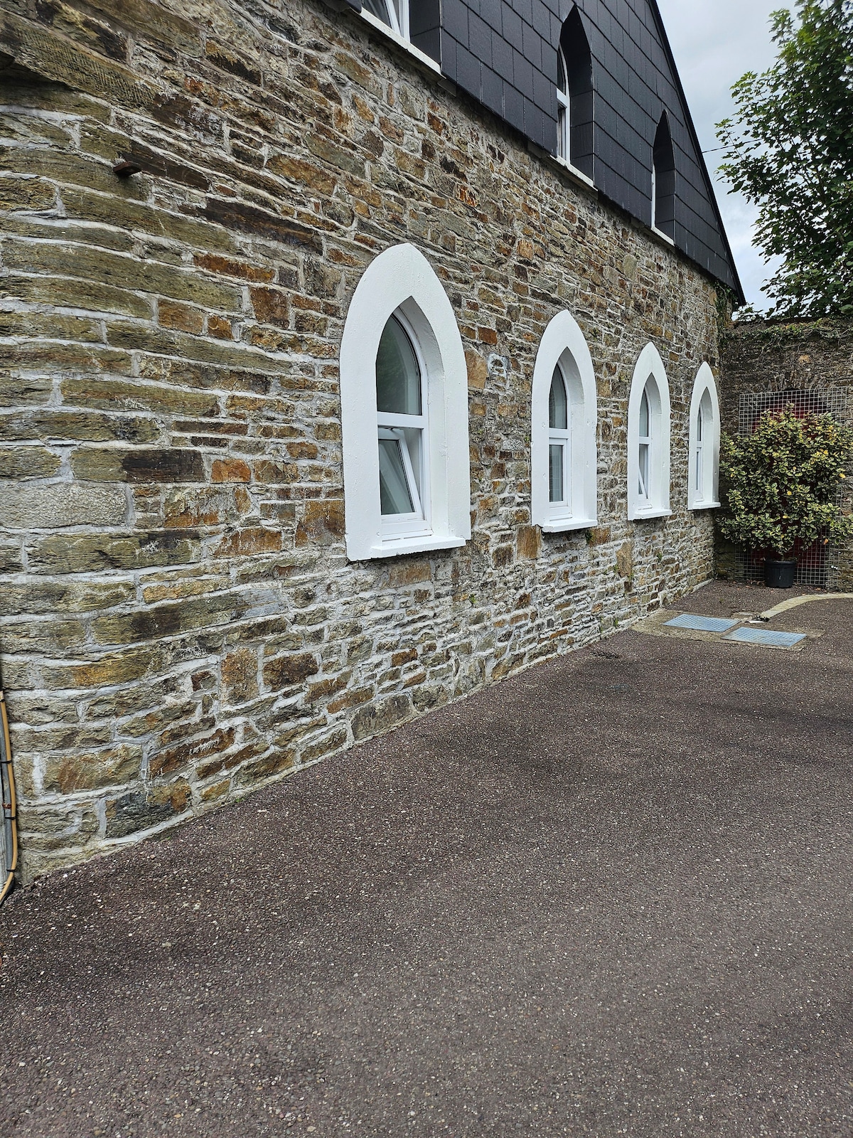 Enclosure in CoonaneEnclosure · 218 yd
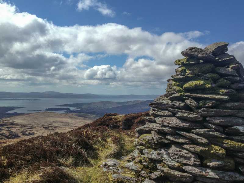 Barraboy Mountain SE TopMountain / peak · 1.1 mi
 Barraboy MountainMountain / peak · 1.4 mi
 The Priests LeapViewpoint · 2.0 mi
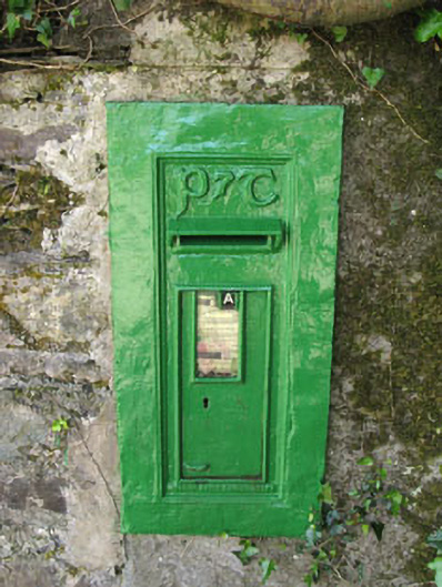 post boxpost box · 2.1 mi
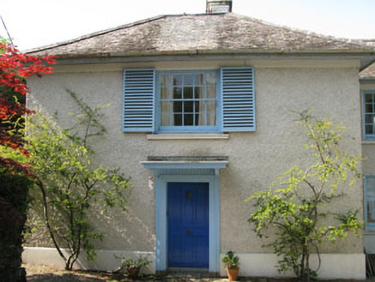 Toad Hallhouse · 2.1 mi
 Tasmanian bluegumTasmanian bluegum · 2.1 mi
 Calf IslandIslet · 2.3 mi
 Garranboy IslandIslet · 2.5 mi
 The Blue PoolHeritage attraction · 2.6 mi
 Graveyard in CappyaughnaGraveyard · 2.7 mi
Other information
Photo: Credit not shown in the picture search · Rights wording not checked; contact us if this picture should be removed