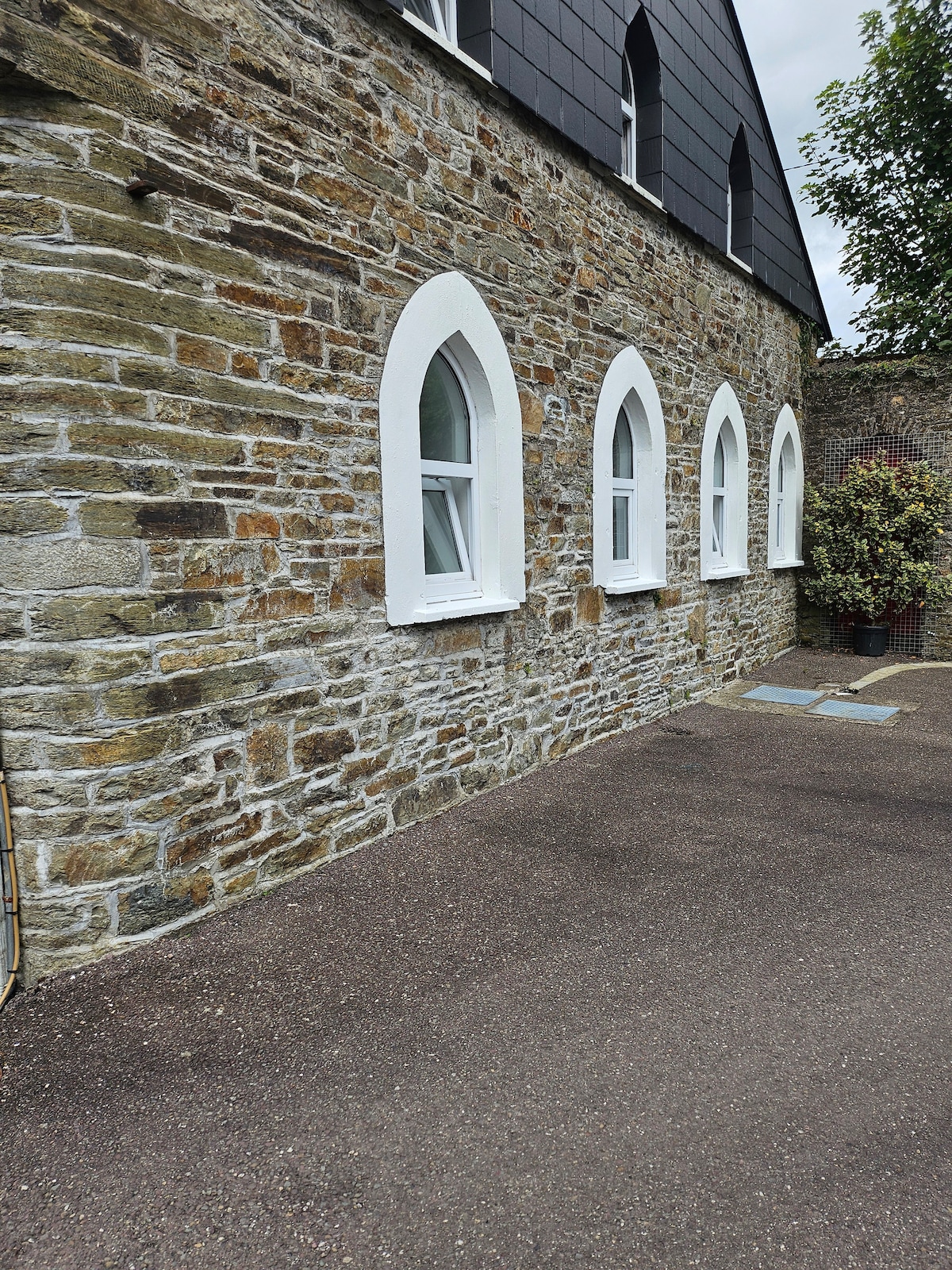
What is recorded here
On bog within relict field boundaries (CO091-010012-) on an E-facing hillslope overlooking the valley of the Barony River. A circular area (diam. 14m) is defined by a largely collapsed stone wall (T 1.3; H 0.7m) displaying traces of an inner and an outer row of upright contiguous slabs with an infill of earth and stone, especially along the SE-S arc. The entrance (Wth 1.2), at E, is defined by two upright parallel slabs. The almost level interior, covered with rushes, is raised (0.4m) at E and cut into the upslope (D 1m) at W to compensate for the hillslope. A field wall, protruding from the bog, abuts the NW side. Rubble is scattered downslope to the E.
The above description is derived from 'The Archaeological Inventory of County Cork. Volume 5' (Dublin: Stationery Office, 2009).
Date of upload: 22 December 2009
The monument record does not grant public access. Check the route and ask the landowner before entering private land.
- What survives
- Recorded monument
Places near here
 Wedge tomb in CoonaneWedge tomb · 117 yd
 Field boundary in CoonaneField boundary · 218 yd
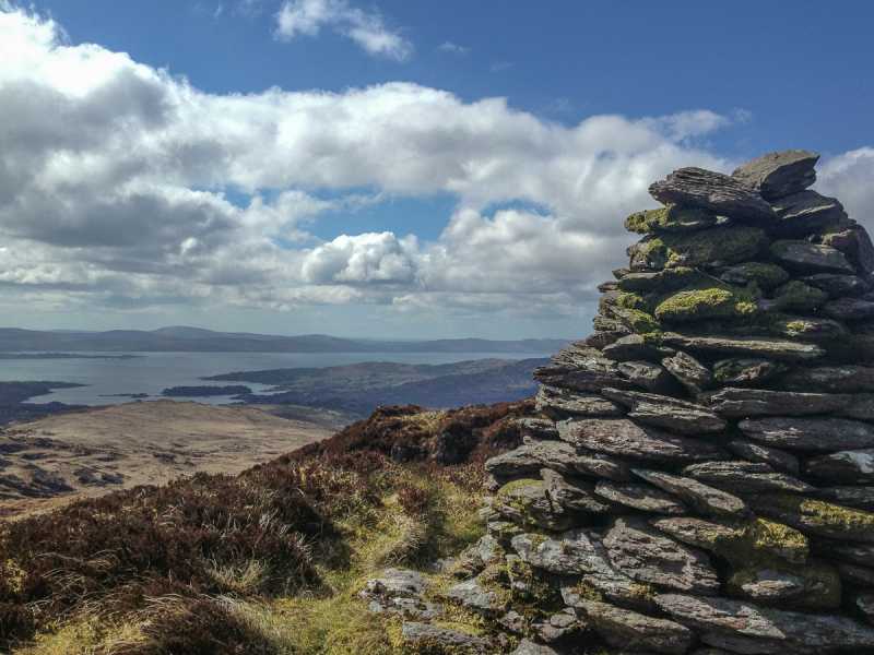 Barraboy Mountain SE TopMountain / peak · 1.2 mi
 The Priest's LeapMountain / peak · 1.4 mi
 The Priests LeapViewpoint · 1.9 mi
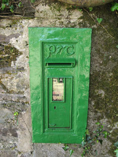 post boxpost box · 2.2 mi
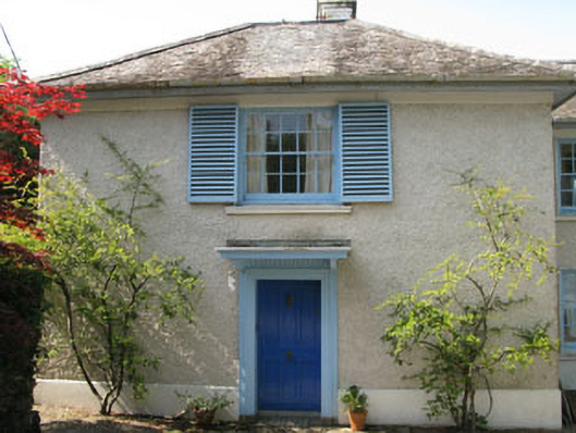 Toad Hallhouse · 2.2 mi
 Tasmanian bluegumTasmanian bluegum · 2.3 mi
 Calf IslandIslet · 2.4 mi
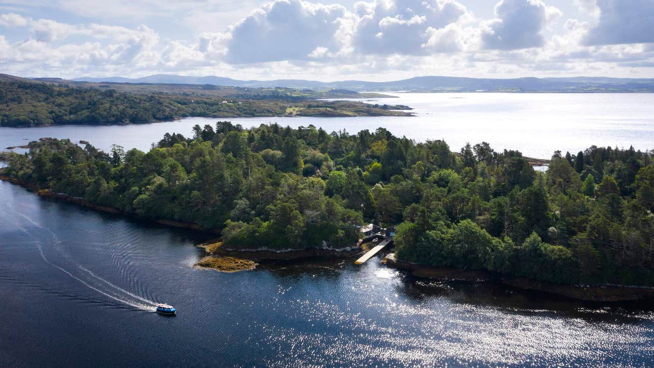 Garranboy IslandIslet · 2.6 mi
 The Blue PoolHeritage attraction · 2.7 mi
 Molly Gallivan's Cottage & Traditional FarmMuseum · 2.7 mi
Other information
Photo: Credit not shown in the picture search · Rights wording not checked; contact us if this picture should be removed