What is recorded here
Coomacullen is in County Kerry. Whether the stone is a boundary marker, a memorial or a failed arch is no longer knowably certain. The wind farm monitoring team measured it beside ordinary farmland, but measurement did not explain why someone lifted it from the earth and stood it where people could see.
See report on 'Archaeological Monitoring of a Wind Farm Development at Inchee and Lettercannon Townlands, Co. Kerry'. Miriam Carroll, Tobar Archaeological Services, April 2006. See report in SMR file for this record.
Compiled by: Elizabeth Byrne, Ursula Egan and Sheila Ronan, Archaeological Survey Unit, University College, Cork.
Date of upload: 31 January 2011
The monument record does not grant public access. Check the route and ask the landowner before entering private land.
- What survives
- Recorded monument
Places near here
 An Cnoc BuíMountain / peak · 1260 yd
 Megalithic structure in DerryreagMegalithic structure · 1303 yd
 Field boundary in An Inse Mhór (tc Sliabh Riabhach)Field boundary · 1601 yd
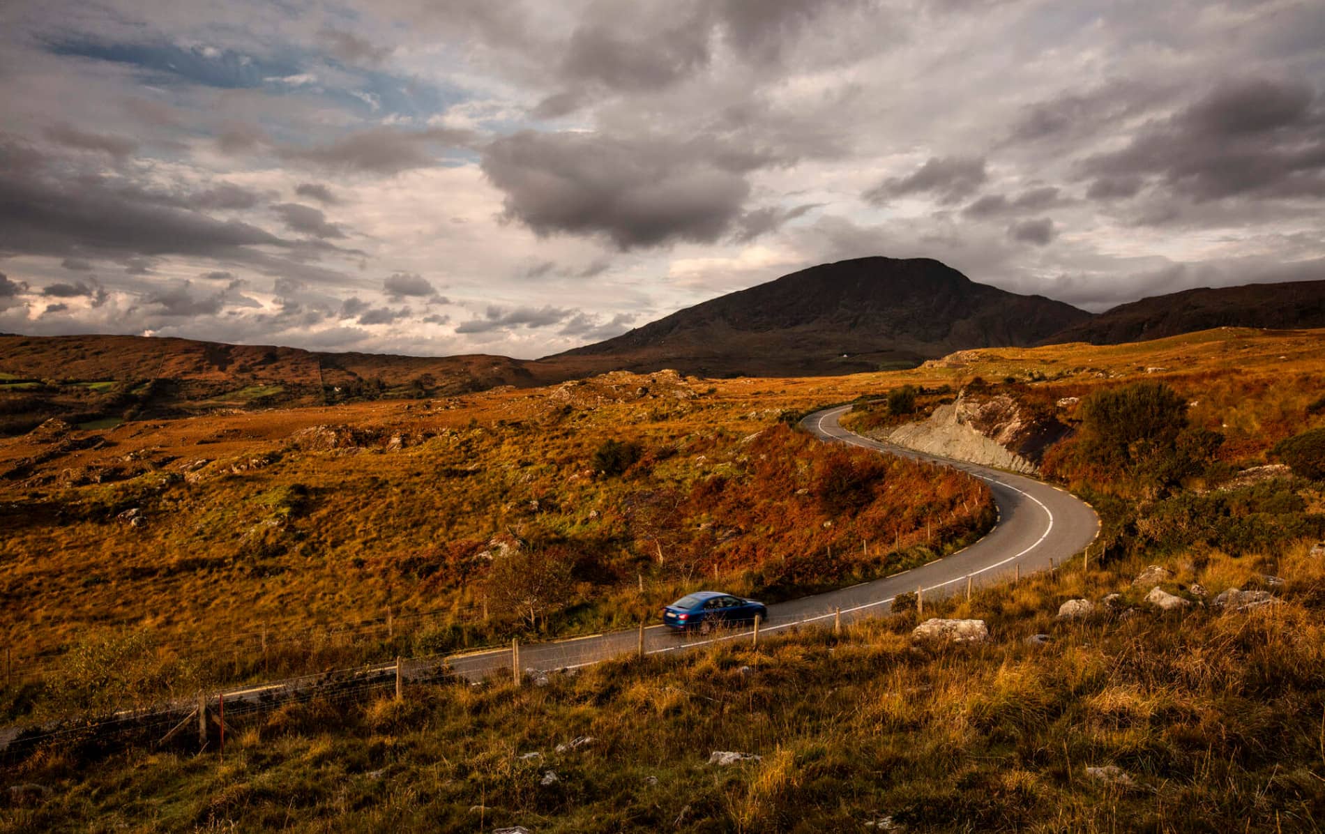 RoadRoad, road/trackway · 1714 yd
 KilnKiln, lime · 1.3 mi
 CoomagearlahyMountain / peak · 1.8 mi
 Sli Gaeltacht MuscraiWalking route · 4.7 mi
 Killaha Castle (in Ruins)Castle, tower house · 6.0 mi
 Battle of Callannbattle · 8.0 mi
 European ashEuropean ash · 8.4 mi
 Gougane BarraValley and heritage place · 8.4 mi
 Torc WaterfallWaterfall · 9.6 mi