What is recorded here
Standing stone in Clooney (maas Ed) is a standing stone in County Donegal, Ireland.
Marked 'Magheranakilla Standing Stone' on the 2nd and 3rd editions of the OS 6-inch map. It was located at the SW end of Tramore strand. No trace of this could be found, possibly as a result of shifting sand.
The above description was derived from the 'Archaeological Survey of County Donegal. A description of the field antiquities of the County from the Mesolithic Period to the 17th century.' Compiled by: Brian Lacey with Eamon Cody, Claire Cotter, Judy Cuppage, Noel Dunne, Vincent Hurley, Celie O'Rahilly, Paul Walsh and Seán Ó Nualláin (Lifford: Donegal County Council, 1983). In certain instances the entries have been revised and updated.
Date of upload: 22 September 2008
The monument record does not grant public access. Check the route and ask the landowner before entering private land.
- What survives
- Recorded monument
Places near here
 Site of Old ChurchChurch · 162 yd
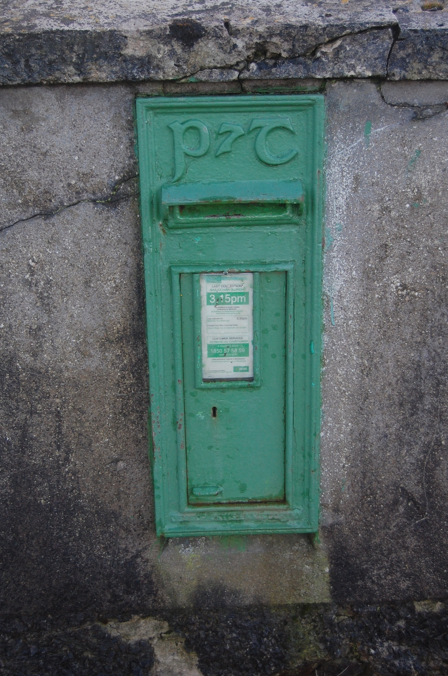 post boxpost box · 228 yd
 Narin–Portnoo StrandOfficial bathing water · 328 yd
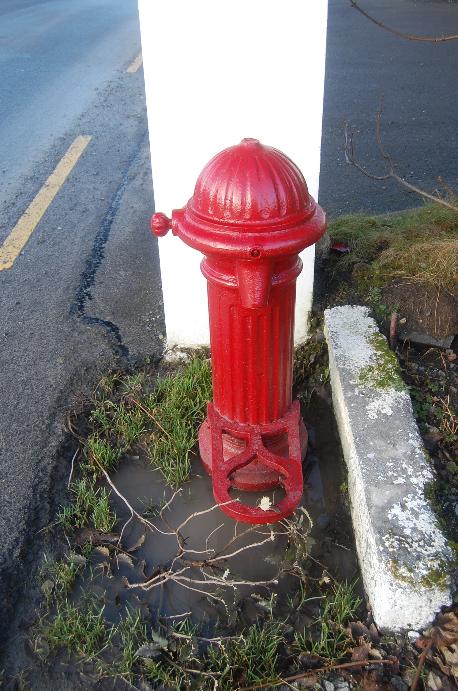 water pumpwater pump · 334 yd
 Inishkeel High Cross FragmentCross, High cross · 1084 yd
 InishkeelIslet · 1249 yd
 Doon FortFairy fort / stone ringfort · 1721 yd
 Bonny Glen WoodForest recreation place · 1.8 mi
 Bonny Glen Wood - Bonny Glen walkOfficial walking route · 1.8 mi
 CastleRuins · 2.5 mi
 Bawn in KiltoorisBawn · 2.5 mi
 Tramore StrandBeach / strand · 3.2 mi