
What is recorded here
Castle (DG073-001-): In 1601, Bishop O'Boyle is recorded as living in this castle, and the island is described in the Civil Survey as having 'aband [a bawn?] and one decayed house' (CSPI 1600-1, 278; Simmington 1937, 82). An early 19th century tradition ascribed the construction of this castle to a Bishop O'Boyle (Flanagan 1927, 137; see Verschoyle 1961, 80-2). In 1847, Fagan recorded that 'to its eastern end stood a round tower, the base of which is still traceable and which together with two gables of the castle, stood within memory about 40 ft high. The castle and courtyard (DG073-001002-) is supposed to have stood 150 ft by 150 ft. . . . much of the walls were without cement . . .' One gable fell in 1793 the other in 1844 and its tower fell around the time of the latter date. There were formally three cannon on the island but two were lost in an attempt to bring them across the lake in the 18th century, the third lay within a few yards of the castle in 1847 (Fagan Bk. 22, 24-31). The 'island' is now joined to the mainland on the SW and only c. 6m of the W wall of the castle survives, 2m thick and 3.5m high. It is in a parlous condition and has a mural stairs, 1.3m wide and 1.5m high, rising from S to N. The S section set back to c. 92 cms thick above the stairs, preserves the remains of a simple rectangular window. The grass-covered lower courses of-a number of walls survive to the W.
The above description was derived from the 'Archaeological Survey of County Donegal. A description of the field antiquities of the County from the Mesolithic Period to the 17th century.' Compiled by: Brian Lacey with Eamon Cody, Claire Cotter, Judy Cuppage, Noel Dunne, Vincent Hurley, Celie O'Rahilly, Paul Walsh and Seán Ó Nualláin (Lifford: Donegal County Council, 1983). In certain instances the entries have been revised and updated.
Date of upload: 22 September 2008
Bishop O'Boyle held the Bawn in Kiltooris in 1601. It is remembered as a site noted in historical surveys, reflecting the presence of Gaelic ecclesiastical figures in the region during the early 17th century.
The monument record does not grant public access. Check the route and ask the landowner before entering private land.
- What survives
- Recorded monument
Places near here
 CastleRuins · 11 yd
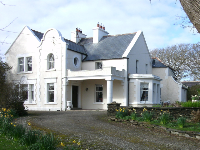 Kiltoorish Hallhouse · 209 yd
 Church (in Ruins)Church · 385 yd
 Tramore StrandBeach / strand · 1556 yd
 Carrickalahagh HeadlandPublicly named cliff or headland · 1.3 mi
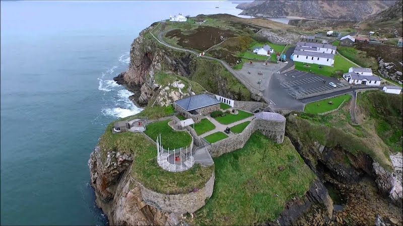 Drumboghill Island Stone FortFairy fort / stone ringfort · 1.3 mi
 Drumboghill Island CashelFairy fort / stone ringfort · 1.4 mi
 Doon FortFairy fort / stone ringfort · 1.5 mi
 Narin–Portnoo StrandOfficial bathing water · 2.4 mi
 InishkeelIslet · 2.6 mi
 Maghera CavesSea caves · 3.8 mi
 Bonny Glen WoodForest recreation place · 3.8 mi
Other information
Photo: Credit not shown in the picture search · Rights wording not checked; contact us if this picture should be removed