What is recorded here
On a broad NW-SE ridge. A broken and prone stone (dims. 0.95m x 0.6m; L c. 2m) was excavated in 1984 revealing a pit (diam. c. 2m; D 0.9m) which had been dug to extract the stone, obliterating its original socket. A small clearance cairn (dims. 2.2m x 1.7m; H 0.3m) was also revealed. Four pieces of struck chert and 17 of flint were recovered, and the stone was re-erected. (Gosling 1987-8)
Compiled by: Michael Moore
Date of upload: 24 August 2010
Probably dates to the Neolithic or early Bronze Age, given the presence of a socket pit, suggesting it was originally erected as a standing stone, possibly for ritual or territorial marking. Its precise meaning or use is unclear, but such stones often held symbolic or ceremonial significance in prehistoric landscapes.
The monument record does not grant public access. Check the route and ask the landowner before entering private land.
- What survives
- Recorded monument
Places near here
 Embanked enclosureFairy fort / stone ringfort · 1208 yd
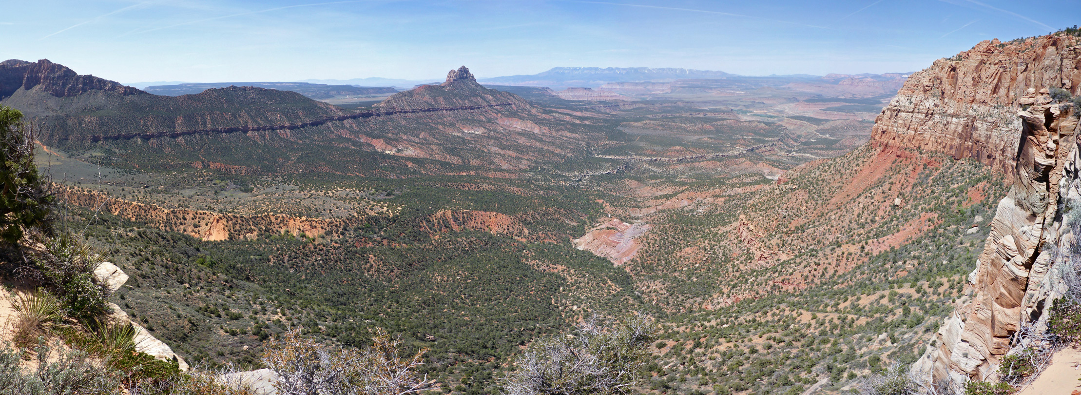 Enclosure in Mountain LowerEnclosure · 2.2 mi
 Church in Glebe WestChurch · 2.5 mi
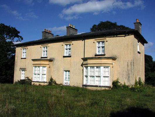 Cashlieve Housecountry house · 2.8 mi
 Coolougher WoodForest · 2.9 mi
 TowerCastle, tower house · 3.4 mi
 Clonalis HouseMuseum · 3.6 mi
 Druminagh WoodForest · 4.7 mi
 Castlereagh HouseCastle, unclassified · 4.8 mi
 Fairymount HillMountain / peak · 6.2 mi
 Slieve DartMountain / peak · 9.0 mi
 Site of Killomaine Grave YardArchaeological place · 11 mi