What is recorded here
Situated in the valley of a NW-SE stream, which is c. 20m to the N. A stone with a rectangular cross section (dims. 0.75m x 0.55-0.8m; H 1.3m) has a pointed top and is roughly oriented E-W. Archaeological testing (01E0977) in the vicinity of the stone by produced no archaeological material (Hurley 2006) and the stone is now preserved on a small green in a new housing development. Standing stone (WX040-085----) is c. 160m to the N.
The above description is derived from the published 'Archaeological Inventory of County Wexford' (Dublin: Stationery Office, 1996). In certain instances the entries have been revised and updated in the light of recent research.
Compiled by: Michael Moore
Date of upload/revision: 19 February, 2013
Dated to the Neolithic or Bronze Age, this standing stone may have had ritual or territorial significance, possibly aligned with solar or seasonal events given its orientation. No specific folklore or inscriptions are recorded.
The monument record does not grant public access. Check the route and ask the landowner before entering private land.
- What survives
- Recorded monument
Places near here
 St. Edans WellHoly well · 43 yd
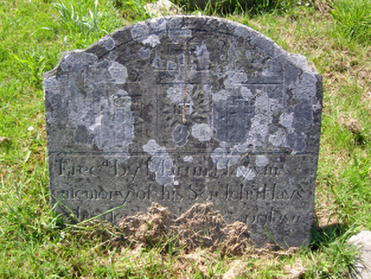 graveyard/cemeterygraveyard/cemetery · 325 yd
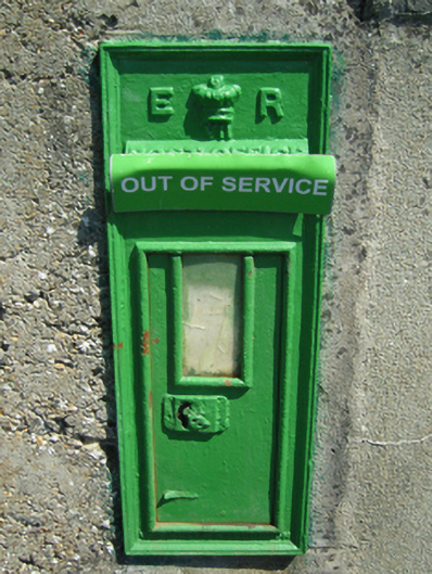 post boxpost box · 370 yd
 Burnt spread in ClongeenBurnt spread · 445 yd
 Bryanstown Ho.Castle, tower house · 1.3 mi
 Coolcliffe HouseRuins · 1.5 mi
 CastleCastle, tower house · 1.6 mi
 Lockheed Hudson AM885 MemorialMemorial · 3.5 mi
 Carrig-On-BannowVisitor information · 4.5 mi
 1798 MemorialMemorial · 4.5 mi
 Carrickbyrne HillMountain / peak · 5.0 mi
 Blackhall StrandBeach / strand · 5.9 mi