What is recorded here
On a slight rise in undulating wet grassland. There are good views in all directions. A rectangular limestone standing stone (0.55m x 0.12m; H 1.2m) orientated NNW-SSE, with evidence of packing stones around the base. There is a depression around the base of the stone due to cattle erosion. According to the local landowner this stone was use as a marker to indicate the line of a mass path to a medieval church (TS052-035----) and graveyard (TS052-035001-). One of a group of three intervisible standing stones, TS052-073---- 388m to the SE and TS052-050---- 520m to the S.
Compiled by: Jean Farrelly
Date of upload: 26 August 2011
Likely dating to the Late Neolithic or Early Bronze Age, this standing stone may have functioned as a territorial marker or part of a ritual landscape. Its orientation and positioning suggest a possible alignment with seasonal or celestial events, though specific folklore or use remains unrecorded.
The monument record does not grant public access. Check the route and ask the landowner before entering private land.
- What survives
- Recorded monument
Places near here
 Wych ElmWych Elm · 291 yd
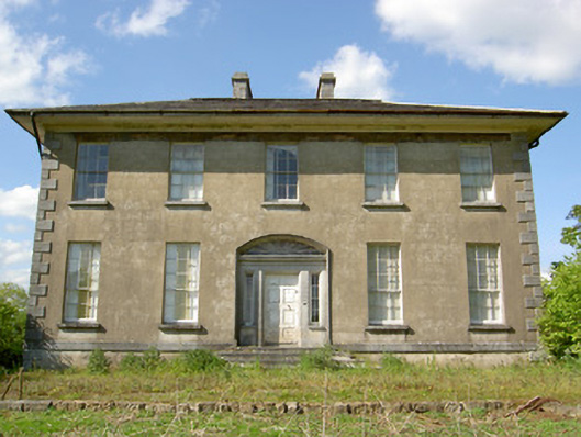 Grene Parkcountry house · 501 yd
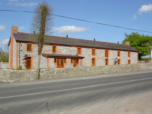 creamerycreamery · 554 yd
 Woodcock GroveWood · 650 yd
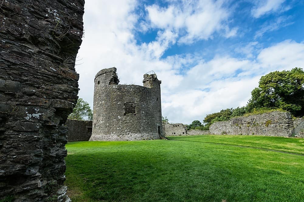 Site of CastleCastle, unclassified · 1132 yd
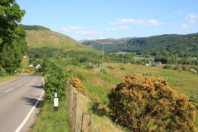 IndicatedEnclosure · 1589 yd
 Enclosure in Kilmore UpperEnclosure · 1.0 mi
 Ballagh CastleCastle · 2.0 mi
 Clonoulty HillMountain / peak · 4.2 mi
 Hore AbbeyHeritage attraction · 5.5 mi
 The Maid of ErinMemorial · 8.5 mi
 GortnageraghMountain / peak · 9.4 mi