What is recorded here
In pasture overlooking Bandon River to NW. Rectangular stone aligned NE-SW (H 1.22m; 0.45m x 0.09m).
The above description is derived from the published 'Archaeological Inventory of County Cork. Volume 1: West Cork' (Dublin: Stationery Office, 1992). In certain instances the entries have been revised and updated in the light of recent research.
Date of upload/revision: 14 January 2009
Dated to the Late Neolithic or Early Bronze Age, this standing stone may have functioned as a territorial marker, ritual monument, or astronomical alignment feature. No specific folklore or detailed local tradition is recorded for this site.
The monument record does not grant public access. Check the route and ask the landowner before entering private land.
- What survives
- Recorded monument
Places near here
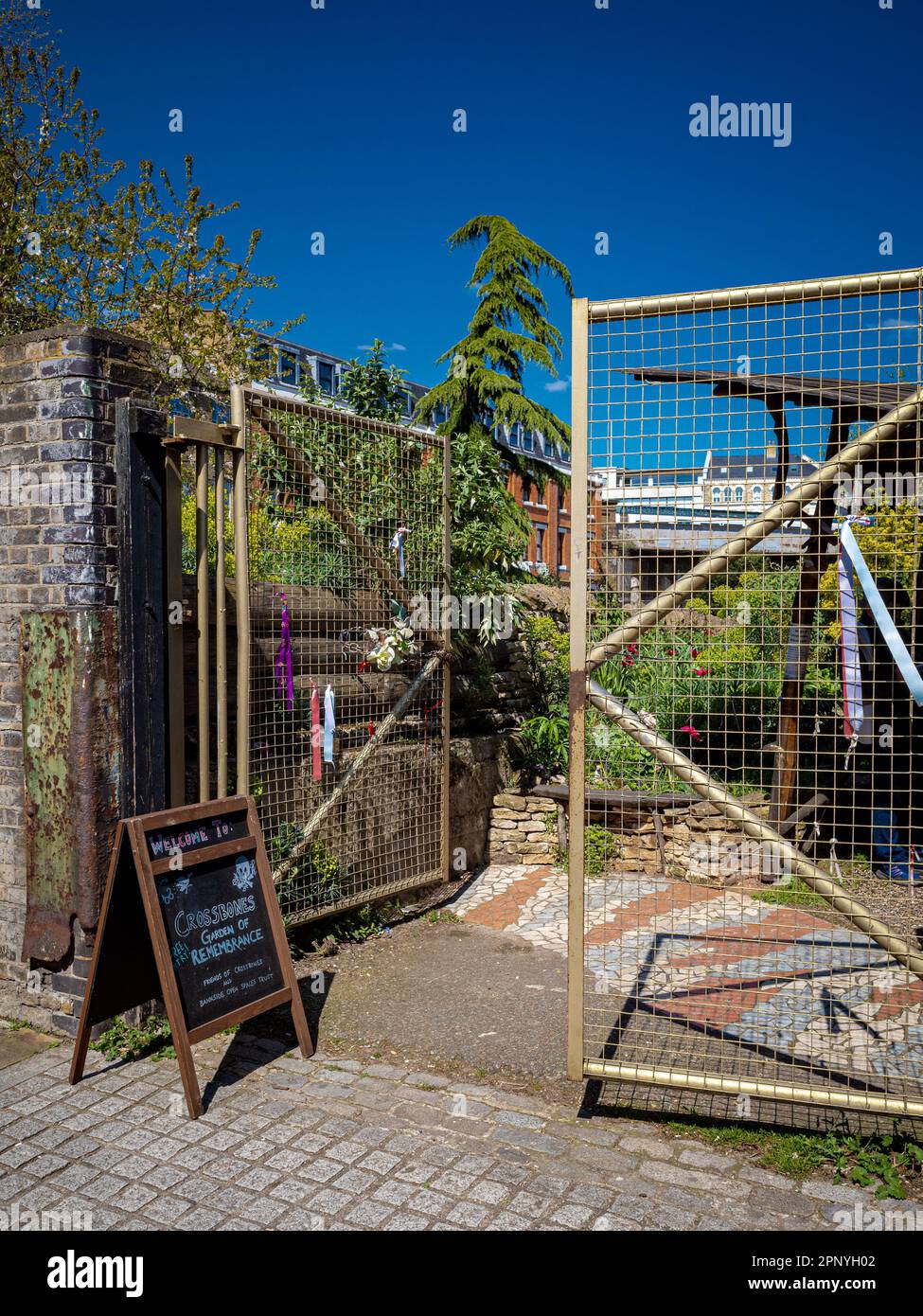 Burial Ground (Disused)Burial ground · 184 yd
 1916 Rising Monumentmonument · 244 yd
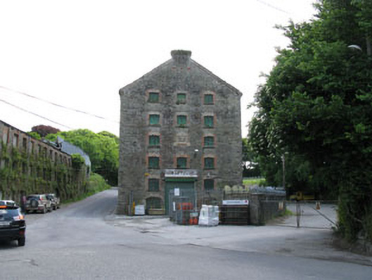 distillerydistillery · 353 yd
 Bandon War MemorialMemorial · 494 yd
 Ecclesiastical enclosure in Clogheenavodig,cloghmacsimon ,knockanreagh,moanaroneEcclesiastical enclosure · 617 yd
 Carbury's WellSpring · 905 yd
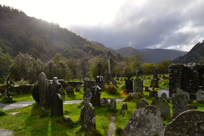 Graveyard in GullyGraveyard · 1253 yd
 Roche's WoodWood · 1.7 mi
 Cottage Road WoodWood · 2.3 mi
 Downdaniel Castle (in Ruins)Castle, tower house · 2.5 mi
 Marie LouiseWreck · 3.7 mi
 Carrighnassig Castle (Site of)Castle, unclassified · 3.8 mi