What is recorded here
Five centuries after the Norman invasion, a man may have set the stone beside the rath to mark a border, a dead person or a gift to an unseen witness. The bog kept that choice hidden, pulling the story out of human memory while Carrauntoohil watched the same water rise and fall. The stone still stands at Cloghera More, not as a monument explained but as a question preserved: what did the man believe when he stopped pretending the landscape was empty?
Located 15m SW of a rath (KE082-014----), in an extensive tract of bog overlooked by Carrauntoohil mountain at NE, this stone rises irregularly to a height of 1.16m from a base which is trapezoidal in plan; NE-SW. Clockwise from NW, the basal dimensions are 1.07m, .8m, .92m .and .9m. It is not marked on the OS maps.
The above description is derived from A. O'Sullivan and J. Sheehan (compilers), 'The Iveragh peninsula: an archaeological survey of South Kerry'. Cork University Press (1996), no. 149. In certain instances the entries have been revised and updated in the light of recent research.
Date of upload: 28 July 2013
Probably dating to the early medieval period, this standing stone may have had a ceremonial or territorial function, possibly linked to the nearby rath. Local folklore often associates such stones with ancient druids or protective landmarks.
The monument record does not grant public access. Check the route and ask the landowner before entering private land.
- What survives
- Recorded monument
Places near here
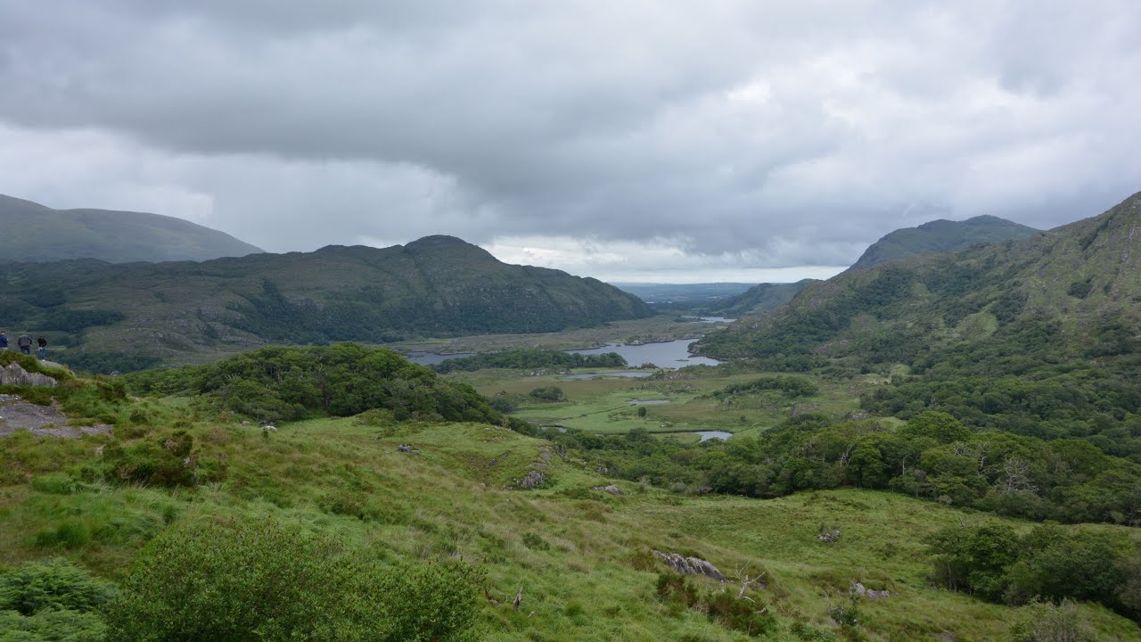 CaveMan-made underground passage · 86 yd
 Parknahooan CaveMan-made underground passage · 356 yd
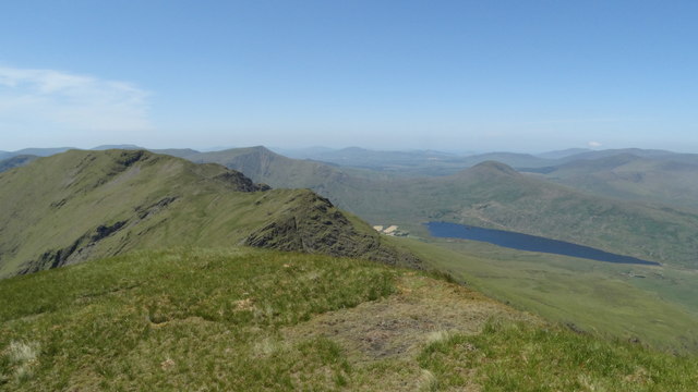 Beann NE TopMountain / peak · 1.7 mi
 MullaghanattinMountain / peak · 1.9 mi
 Ballaghbeama GapViewpoint · 2.5 mi
 Blackstones Bridgebridge · 4.4 mi
 CarrauntoohilMountain / peak · 6.2 mi
 RoadRoad, road/trackway · 6.3 mi
 Devil's Ladder RouteWalking route · 7.4 mi
 De Gaulle MemorialMonument · 7.9 mi
 Sneem Commemoration PlaqueMemorial · 8.0 mi
 Crash site of USAAF DakotaHeritage attraction · 8.0 mi