
What is recorded here
From the National Monuments Service (Archaeological Survey of Ireland) record CO127-055
Places near here
Photo credits
- Maker not stated on source page, www.alamy.com
- Maker not stated on source page, www.abartaheritage.ie
- Maker not stated on source page, commons.wikimedia.org
- Kmcnamee, Wikimedia Commons · CC BY-SA 4.0
- Maker not stated on source page, www.pinterest.ru
- Richard Webb, Geograph · CC BY-SA 2.0
- National Inventory of Architectural Heritage
- Maker not stated on source page, www.ireland.com
- Maker not stated on source page, www.pinterest.com
- Martin Creek, Wikimedia Commons · CC BY-SA 2.0
- Espresso Addict, Geograph · CC BY-SA 2.0
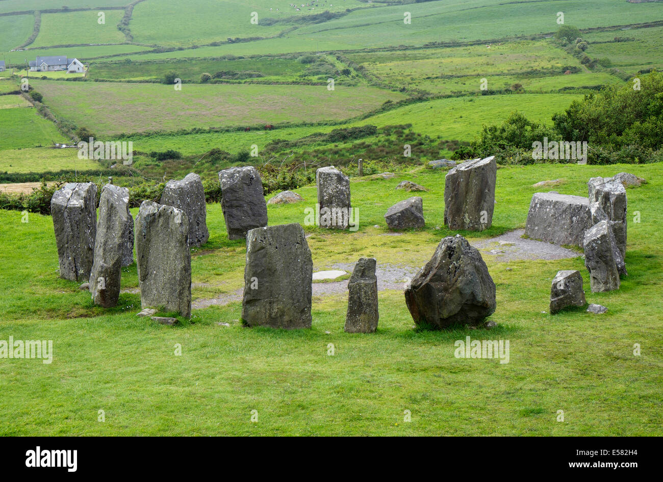 Anomalous stone group in Knockroe EastAnomalous stone group · 629 yd
Explorer Tom Anomalous stone group in Knockroe East is leaning against Bantry Bay like it’s hungover. The stone looks like it’s…
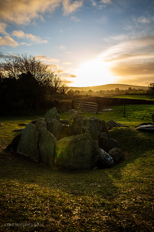 Standing stone in Knockroe EastStanding stone · 690 yd
Explorer Tom Standing stone in Knockroe East is watching the sea from its high perch. It's got a commanding view and zero patience…
 Fairy fort / earthen ringfort in Loughane BegFairy fort / earthen ringfort · 1612 yd
Explorer Tom Fairy fort / earthen ringfort in Loughane Beg is playing hide-and-seek with a waterlogged ditch and some old hut sites.…
 Garnish GAA pitchGAA ground · 1.3 mi
 Standing stone in Kilkinnikin WestStanding stone · 1.6 mi
Explorer Tom Standing stone in Kilkinnikin West is overlooking Blackball Head with a very irregular shape. There are packing stones…
 Cahermore GraveyardGraveyard · 1.9 mi
Explorer Tom Cahermore Graveyard would explain the 1800s to a teenager by saying it was basically the same as now, but with worse…
 KnockgourMountain / peak · 2.0 mi
Explorer Tom Knockgour rates its visitors on a scale of one to ten, based mostly on how loud they are. It gives a solid two stars to…
 house4.7 mi
Explorer Tom House in Scrivoge is haunted by the echo of a fiddler who played all night and then forgot where he put his hat. The…
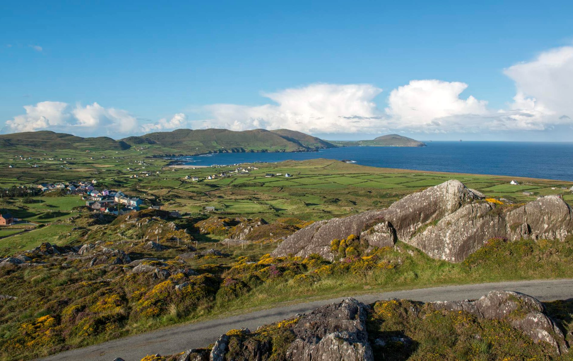 Oileán Chuas a' BháidIslet · 23 mi
Explorer Tom Oileán Chuas a' Bháid has been hiding a scandal involving a smuggler who lost his hat in the tide in 1842 and never got…
 Bulligacrowig RockIslet · 23 mi
Explorer Tom Bulligacrowig Rock has a hidden message carved into its stones that says 'I’m still here', which I think is honestly…
 Bray Head Signal TowerRuins · 26 mi
Explorer Tom Bray Head Signal Tower is stuck in a feud with the family next door over who actually owns the best view of the…
 Bray HeadMountain / peak · 26 mi
Explorer Tom Bray Head in County Kerry is boasting about surviving a storm that wasn't even particularly wet, just damp and rude.…
More archaeology and monuments in County Cork · All of County Cork

What do you know about this place?Tap to add a comment or ask a question