What is recorded here
You can still touch Kilkieran’s layered memory because the monastery, graveyard and standing stone all remain visible on the hill. The small dressed stone stands beside an open grave plot, not hidden under soil or forgotten under grass. That is why the place feels alive: continuity is not a claim, it is a shape you can walk around.
On the lower S-facing slope of Kilmacoliver Hill, overlooking the valley of the River Suir. Within Kilkieran graveyard (KK034-032002-), 2m N of the E end of an open-sided stone-walled rectangular grave-plot. The graveyard is located on the site of an early medieval monastery, as evidenced by four high crosses (KK034-032004-; KK034-032005-; KK034-032006-; KK034-032007-) within the graveyard. A conglomerate sandstone standing stone (H 0.77m; Wth at base 0.4m; tapering to 0.25) with pebble inclusions. The stone appears to be dressed to form a rounded profile at the top.
Compiled by: Jean Farrelly
Date of upload: 20 August 2018
Probably dating to the Early Christian or medieval period, this standing stone may have had a funerary or commemorative function, given its location within a graveyard. Its placement near a grave-plot suggests a possible link to local burial traditions or ecclesiastical activity.
The monument record does not grant public access. Check the route and ask the landowner before entering private land.
- What survives
- Recorded monument
Places near here
 IndicatedCross, High cross · 10 yd
 Kilkieran CrossesHeritage attraction · 20 yd
 Holy well in Castletown (iverk By)Holy well · 43 yd
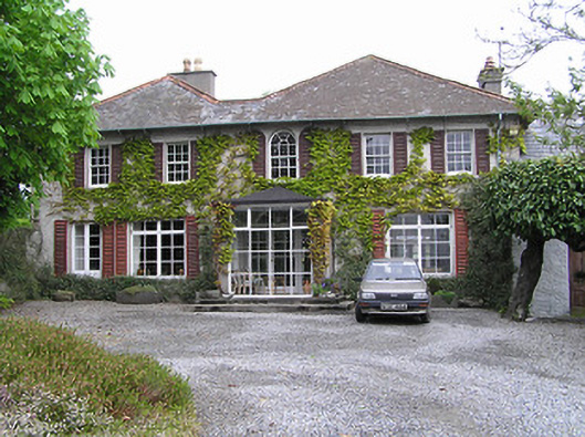 Newtownhouse · 1214 yd
 Kilmacoliver HillMountain / peak · 1216 yd
 Church (in ruins)Church · 1539 yd
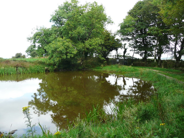 Dwyer Homestead and Pond, BregaunVisitor information · 1.0 mi
 Woodland LoopWalking route · 1.2 mi
 Burns WoodForest · 1.4 mi
 Carrigadoon HillMountain / peak · 1.4 mi
 Irish Republic 1916-2016Memorial · 1.5 mi
 CastleCastle, unclassified · 1.6 mi