
What is recorded here
On flat ground enclosed by a rectangular stone-walled graveyard (TS079-015003-). The Civil Survey (1654-6) refers to 'a little Church unroofed' in 'Newtownelennane' (Simington 1931, vol. 1, 262). Constructed of sandstone rubble roughly coursed, this 13th-century church (int. dims. 8.27m x 15.52m; W wall T 1.08m; S wall T 0.84m; H c. 4m), orientated E-W, is overgrown with scrub and the walls are heavily ivy clad. The N wall is leaning outwards and most of the outer face of the W end of the N wall has collapsed and lies in a rubble heap at the base of the wall. There is a small buttress at the W end of the N wall and slight base-batter on the E wall (H 1.2m, Wth 0.25m). The church has two doorways, one at the W end of the S wall and another at the N end of the W wall. Both doorways have been modified. The S doorway has a slate lintel which is a re-used graveslab (TS079-015006-). The church is lit by two windows in the N wall, one broken out, the other round headed; three flat-headed windows in the S wall with traces of diagonal tooling and a triple-light lancet window (H 3.5-4m) in the E gable with moulded sandstone surrounds. The E and W lancets are blocked up with sandstone. At the E end of the S wall there is a pointed-headed piscina with moulded surrounds and flat-headed aumbry with crude sandstone surrounds. At the E end of the N wall there is a pointed aumbry with moulded sandstone surround though only the internal roll-moulding survives intact. Lying at the E end of the church interior are three fragments of a graveslab (TS079-015007-). A sheela-na-gig (TS079-015002-) from the church was acquired by the National Museum of Ireland in 1968 (Lucas 1971, 232).
Compiled by: Jean Farrelly
Date of upload: 26 August 2011
The monument record does not grant public access. Check the route and ask the landowner before entering private land.
- What survives
- Recorded monument
Places near here
 Saint Patrick's Catholic Churchchurch/chapel · 488 yd
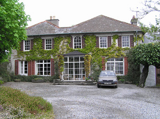 Newtownhouse · 829 yd
 Kilkieran CrossesHeritage attraction · 1532 yd
 IndicatedCross, High cross · 1534 yd
 Holy well in Castletown (iverk By)Holy well · 1560 yd
 Carrigadoon HillMountain / peak · 1.4 mi
 Kilmacoliver HillMountain / peak · 1.6 mi
 Burns WoodForest · 1.6 mi
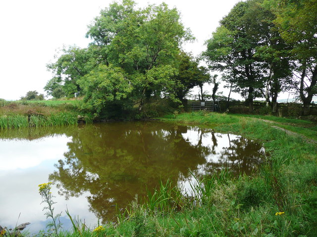 Dwyer Homestead and Pond, BregaunVisitor information · 1.9 mi
 CastleCastle, unclassified · 2.0 mi
 Woodland LoopWalking route · 2.0 mi
 Irish Republic 1916-2016Memorial · 2.3 mi
Other information
Photo: Credit not shown in the picture search · Rights wording not checked; contact us if this picture should be removed