
What is recorded here
On the lower S-facing slope of Kilmacoliver Hill, overlooking the valley of the River Suir. The holy well is c. 25m E of the S side of Kilkeran graveyard (KK034-032002-). It is associated with the early medieval monastery of Kilkieran and Kilkieran church (KK034-032001-). The well is mentioned by Carrigan (1905, vol. 4, 243) as, ‘Tubber-Killkeerawin, or Kilkieran holy well’, he also refers to the ‘holy water font’ or bullaun (KK034-032008-) which is beside it. The stone-lined well is roughly circular in shape (dims. 0.82m N-S; 0.87m E-W; D 1.05m; D of water 0.36m), opening to the S where there are two large flat slab steps. The water springing from the well flows southward beneath the slabs. A roughly semi-circular area immediately to the N and E of the well has been revetted with curving stone walling. A concrete post has been erected to hold a long handled cup to enable pilgrims to drink from the well.
Compiled by: Jean Farrelly
Date of upload: 15 August 2018
This holy well is associated with Saint Kieran, a 6th-century abbot and patron saint of Kilkieran, known for his role in the spread of Christianity in the region. The well was traditionally visited for its healing properties, particularly for ailments of the eyes and skin, and was often the site of pilgrimages and seasonal rituals.
The monument record does not grant public access. Check the route and ask the landowner before entering private land.
- What survives
- Recorded monument
Places near here
 IndicatedCross, High cross · 53 yd
 Kilkieran CrossesHeritage attraction · 62 yd
 Kilmacoliver HillMountain / peak · 1202 yd
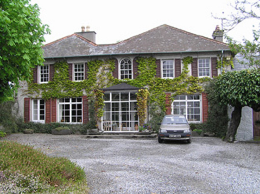 Newtownhouse · 1252 yd
 Church (in ruins)Church · 1560 yd
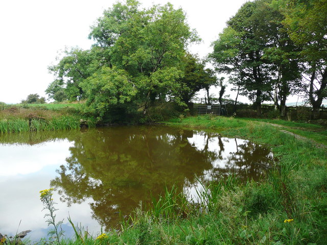 Dwyer Homestead and Pond, BregaunVisitor information · 1.0 mi
 TobernamonineHoly well · 1.1 mi
 Woodland LoopWalking route · 1.2 mi
 Burns WoodForest · 1.3 mi
 Carrigadoon HillMountain / peak · 1.5 mi
 Irish Republic 1916-2016Memorial · 1.5 mi
 CastleCastle, unclassified · 1.6 mi
Other information
Photo: A.-K. D. · CC BY-SA 4.0