What is recorded here
Situated in an undulating landscape with rock outcrop. A conglomerate stone (dims of base 1.55m x 0.25-0.4m; H 1.8m) is oriented E-W and increases in dimension (1.85m x 0.4m) 1.2m above the ground. The stump of another stone (dims 0.9m plus x 0.4m), or perhaps rock outcrop is 0.6m to the W.
The above description is derived from 'The Archaeological Inventory of County Leitrim' compiled by Michael J. Moore (Dublin: Stationery Office, 2003). In certain instances the entries have been revised and updated in the light of recent research.
Date of upload: 23 September 2008
Likely dating to the Neolithic or Bronze Age, this standing stone may have had ceremonial or territorial significance. Its orientation and placement suggest possible alignment with solar or ritual events, though specific folklore or use remains unrecorded.
The monument record does not grant public access. Check the route and ask the landowner before entering private land.
- What survives
- Recorded monument
Places near here
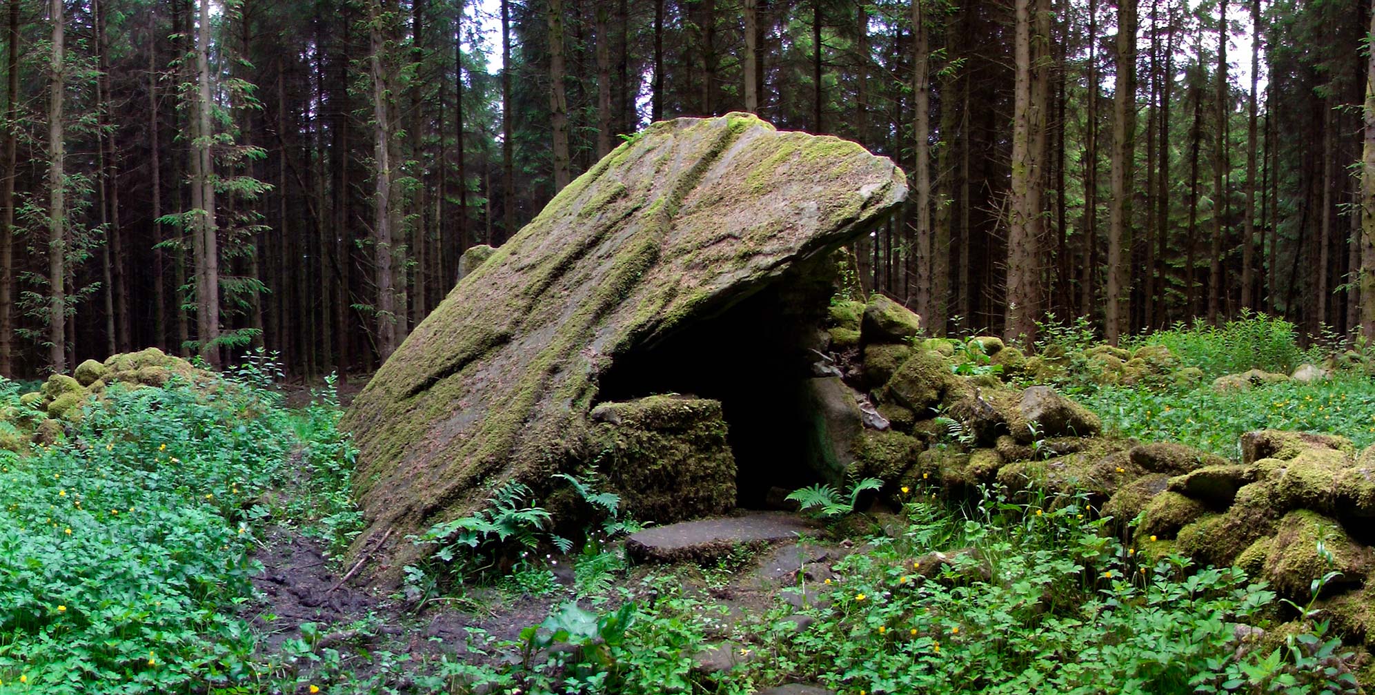 Druid's AltarArchaeological place · 1066 yd
 DrumbadMountain / peak · 1343 yd
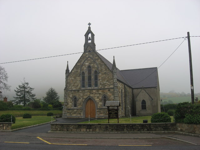 Church in OughteraghChurch · 1585 yd
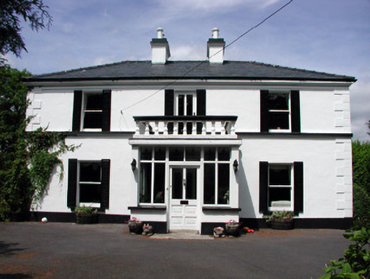 Curranmount Househouse · 1725 yd
 St. Bridgets WellHoly well · 1.1 mi
 Cromlin Bridge WoodWood · 1.6 mi
 Turf IslandIsland · 2.0 mi
 Crane IslandIslet · 2.2 mi
 European ashEuropean ash · 2.4 mi
 DrumgownaghMountain / peak · 2.6 mi
 CastleCastle, tower house · 3.3 mi
 CastleforeCastle, tower house · 4.0 mi