What is recorded here
In pasture with views to N and E. Rectangular stone aligned NE-SW (H 1.05m; 0.74m x 0.08m).
The above description is derived from the published 'Archaeological Inventory of County Cork. Volume 1: West Cork' (Dublin: Stationery Office, 1992). In certain instances the entries have been revised and updated in the light of recent research.
Date of upload/revision: 14 January 2009
Likely dating to the Bronze Age, this standing stone may have had ritual or territorial significance. No specific folklore or detailed use is recorded for this site.
The monument record does not grant public access. Check the route and ask the landowner before entering private land.
- What survives
- Recorded monument
Places near here
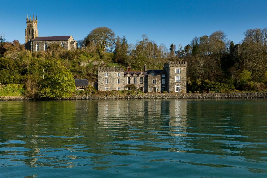 IndicatedFairy fort / earthen ringfort · 278 yd
 Placenames & Their Amazing StoriesHeritage attraction · 326 yd
 Kill Burial GdBurial ground · 440 yd
 gate lodgegate lodge · 474 yd
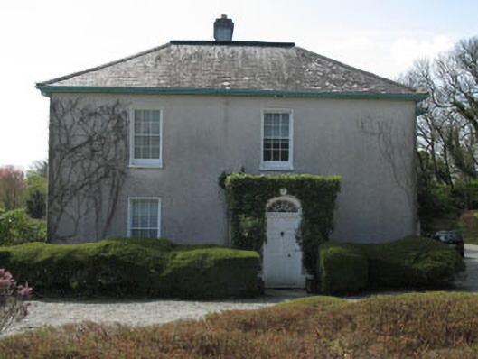 Castlehaven Houserectory/glebe/vicarage/curate's house · 545 yd
 Gleann BearcháinWood · 611 yd
 Sandy CoveBeach / strand · 654 yd
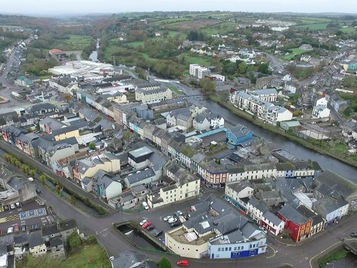 Tráigín na Mná JonesBeach / strand · 664 yd
 Castlehaven CastleCastle · 802 yd
 Faill ÁrdCliff · 884 yd
 Flea IslandIslet · 925 yd
 Carraig a' ShleáinMountain / peak · 1035 yd