What is recorded here
Meadow management and wolf pressure may have shaped the area before the stone became a landmark. People may have gathered there to mark territory, honor ancestors or watch the valley. The stone still stands because it is useful, beautiful or sacred enough to preserve.
In pasture, on a SE-facing slope, overlooking the valley of the Foherish River. This standing stone (1.7m x 0.6m; H 1.55m) is irregular in section and is orientated ENE-WSW. The upper portion of the standing stone narrows to a rounded top.
The above description is derived from 'The Archaeological Inventory of County Cork. Volume 5' (Dublin: Stationery Office, 2009).
Date of upload: 22 December 2009
Dated to the Late Neolithic or Early Bronze Age, this standing stone may have functioned as a territorial marker or ceremonial monument. Its orientation and location suggest a possible alignment with solar or ritual practices, though specific folklore or use remains undocumented.
The monument record does not grant public access. Check the route and ask the landowner before entering private land.
- What survives
- Recorded monument
Places near here
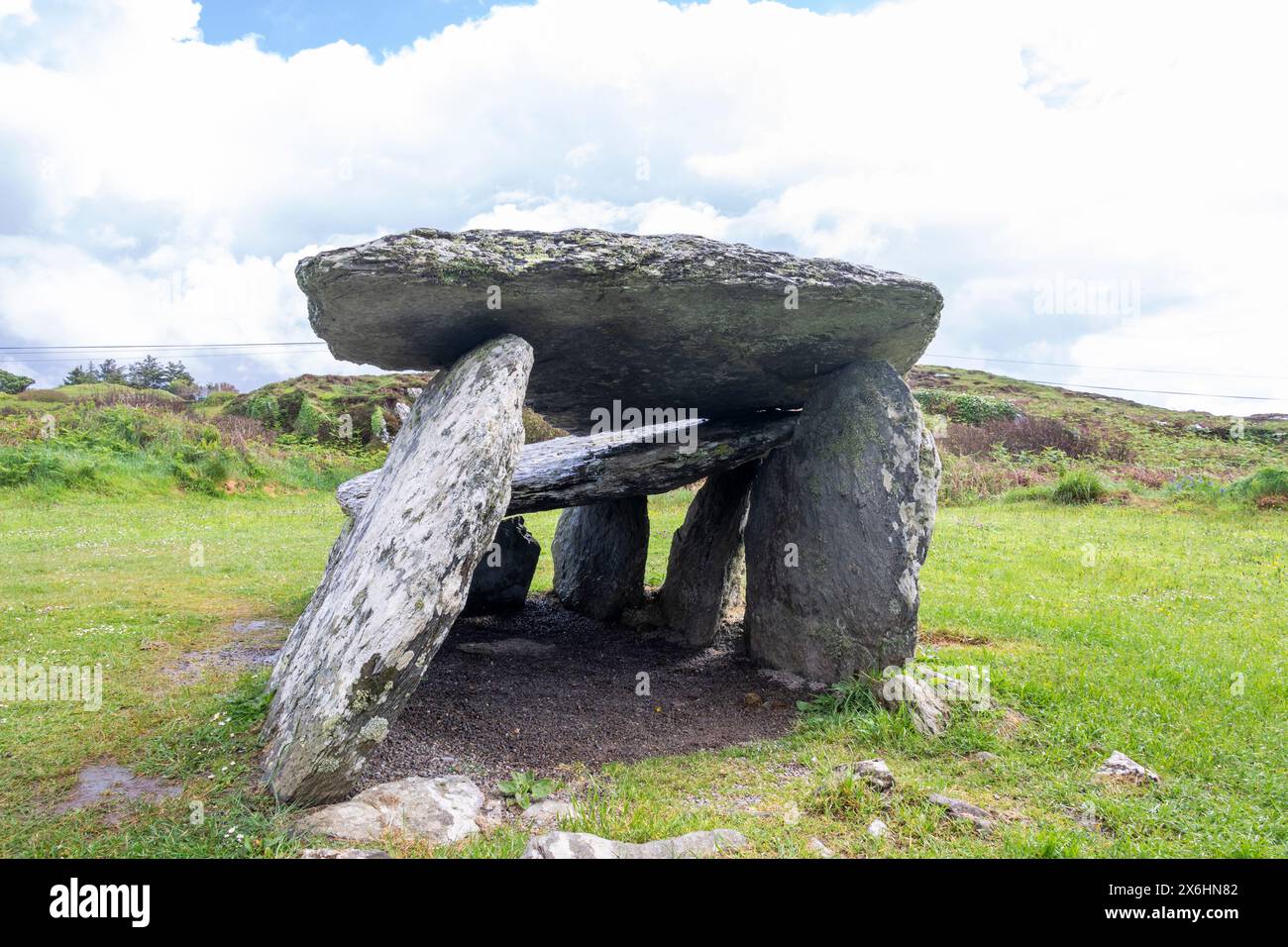 Wedge tomb in CarrigonirtaneWedge tomb · 228 yd
 Fulacht fia in CarrigonirtaneFulacht fia · 254 yd
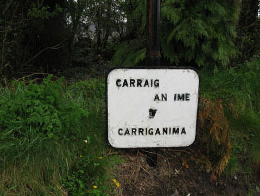 sign postsign post · 1370 yd
 St John the Baptist Roman Catholic Churchchurch/chapel · 1510 yd
 Cnoc na nUlán (mullach thoir)Mountain / peak · 2.3 mi
 Mullaghanish Far North-East TopMountain / peak · 3.0 mi
 Paddy Mulcahey 2009Memorial · 4.0 mi
 Standing Stone ? At J WellMemorial · 4.1 mi
 Carrigaphooca CastleCastle · 4.3 mi
 Neill's WoodWood · 4.3 mi
 Clonavrick CliffCliff · 4.5 mi
 Kilmeedy CastleCastle, tower house · 4.8 mi