What is recorded here
Carriganimmy held a north-south standing stone above the Laney Valley when M. Hodd recorded it in 1999. Field clearance and draining took much of that rough bogland, and the stone disappeared into one of the hillside’s random mounds. It may still stand buried beneath ordinary stones, keeping its direction while forgetting its shape.
In rough bogland, on a S-facing slope, overlooking the Laney Valley. This possible standing stone (0.77m x 0.16m; H 1.14m), which was orientated N-S, was recorded in 1999 (pers. comm. M. Hodd). Much of this area has since been drained and mounds of field clearance stones and boulders occur randomly on the hillside. A subsequent inspection of the area failed to locate this possible standing stone and it is now most likely to be included in one of the clearance mounds.
The above description is derived from 'The Archaeological Inventory of County Cork. Volume 5' (Dublin: Stationery Office, 2009).
Date of upload: 22 December 2009
Likely dating to the Neolithic or Bronze Age, this standing stone may have had ritual or territorial significance, possibly aligned with landscape features or celestial events. No specific folklore or detailed use has been recorded for this site.
The monument record does not grant public access. Check the route and ask the landowner before entering private land.
- What survives
- Recorded monument
Places near here
 BarrowBarrow, ring-barrow · 821 yd
 Enclosure in CarriganimmyEnclosure · 952 yd
 Church in Glantane EastChurch · 1.2 mi
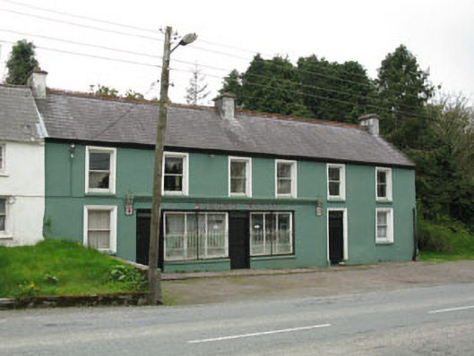 Edmond Walshhouse · 1.4 mi
 Paddy Mulcahey 2009Memorial · 1.7 mi
 Standing Stone ? At J WellMemorial · 1.8 mi
 MusheramoreMountain / peak · 2.1 mi
 Blackwater (Duhallow) WayWalking route · 3.2 mi
 MusheraMountain / peak · 3.3 mi
 Kilmeedy CastleCastle, tower house · 3.7 mi
 RowanRowan · 4.2 mi
 Clonavrick CliffCliff · 4.3 mi