What is recorded here
In pasture on a gentle NW-facing slope. A sub-angular boulder of finely grained granite (H 0.86m; 0.65m x 0.50m) with a long axis NE-SW.
Compiled by: Matt Kelleher
Date of upload: 11 December 2012
The monument record does not grant public access. Check the route and ask the landowner before entering private land.
- What survives
- Recorded monument
Places near here
 Wedge tomb in CarrigWedge tomb · 417 yd
 Enclosure in SroughanEnclosure · 494 yd
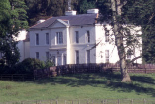 Baltyboys Housecountry house · 1.0 mi
 Castle (in ruins)Castle, tower house · 1.1 mi
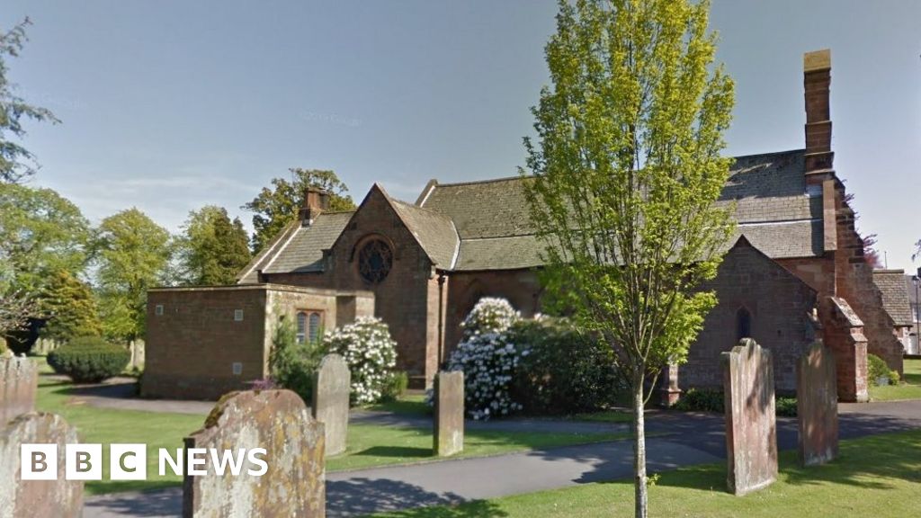 Church (in Ruins), Grave Yd., St. Marks Cross, HChurch · 1.1 mi
 Councillor Jim MileyMemorial · 1.3 mi
 Proclamation of the Irish RepublicMemorial · 1.3 mi
 Lacken – Mass Path LoopWalking route · 1.5 mi
 Blessington DemesneWood · 1.8 mi
 CastleCastle, tower house · 2.2 mi
 Deer Park PlantationForest · 2.3 mi
 Artisans WorkshopsHeritage attraction · 2.5 mi