
What is recorded here
Situated on a gentle W/SW-facing slope with a much steeper slope to the S. Part of a complex of prehistoric sites on the lower western slopes of Lugnagun. About half of an oval or circular enclosure (max. diam. 78m) of which the NE portion has been removed. It is defined by a wall (Wth 3m), consisting of an inner and outer facing of continuous kerbing with a core of smaller stones and some earth, and in part by a stony bank (Wth 4-5.4m). At the W the wall has been incorporated into the modern field boundary.
The above description is derived from the published 'Archaeological Inventory of County Wicklow' (Dublin: Stationery Office, 1997). In certain instances the entries have been revised and updated in the light of recent research.
Date of upload/revision: 17 December 2008
This monument is subject to a preservation order made under the National Monuments Acts 1930 to 2014 (PO no. 2/2005).
This remains an important historical record, but the official description says the monument is no longer visible or has been destroyed. The monument record does not grant public access. Check the route and ask the landowner before entering private land.
- What survives
- No visible remains or recorded as destroyed
Places near here
 Wedge tomb in CarrigWedge tomb · 231 yd
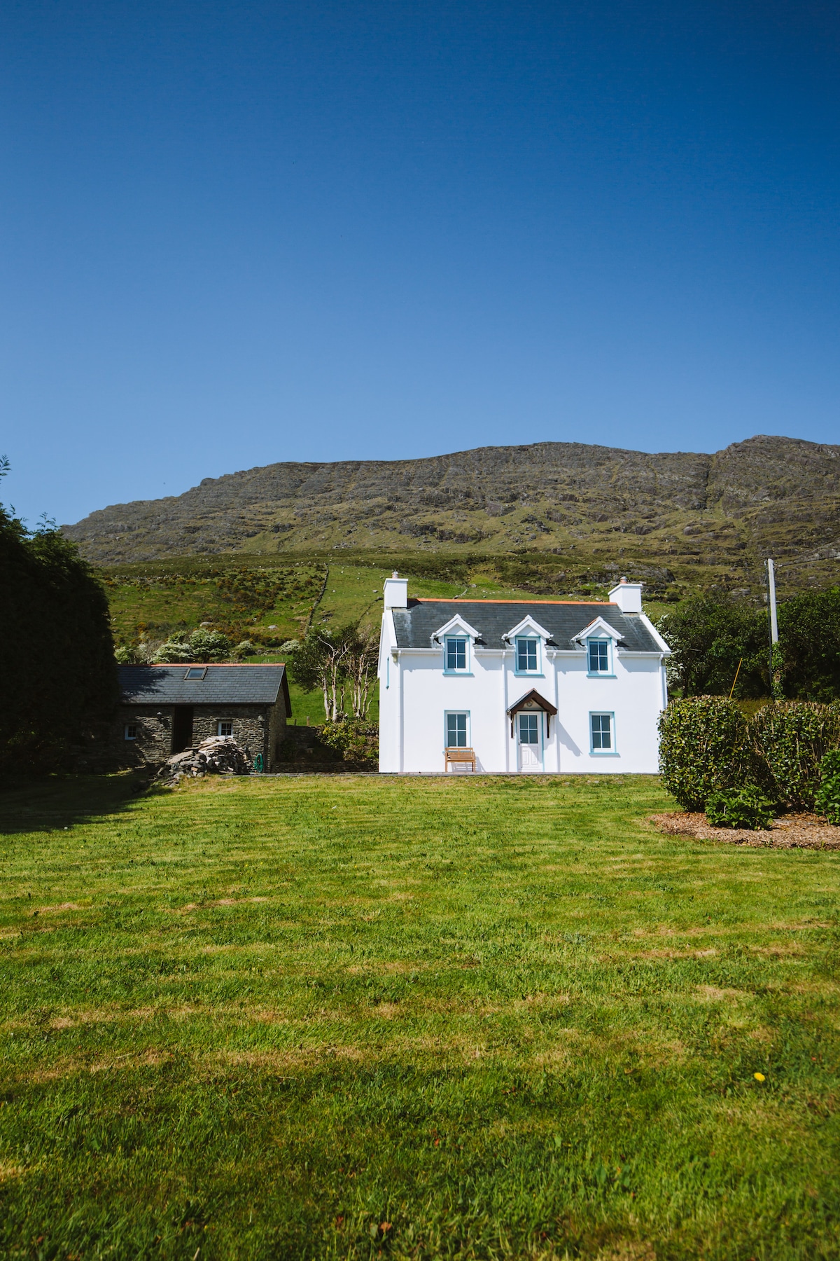 Enclosure in CarrigEnclosure · 295 yd
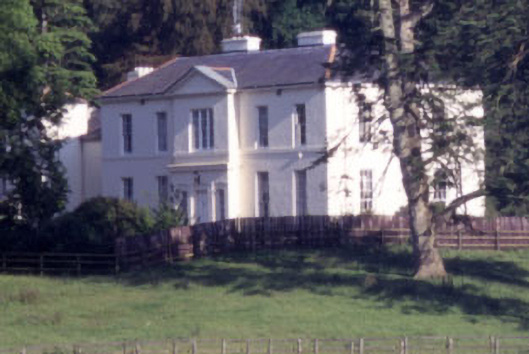 Baltyboys Housecountry house · 1.1 mi
 Castle (in ruins)Castle, tower house · 1.2 mi
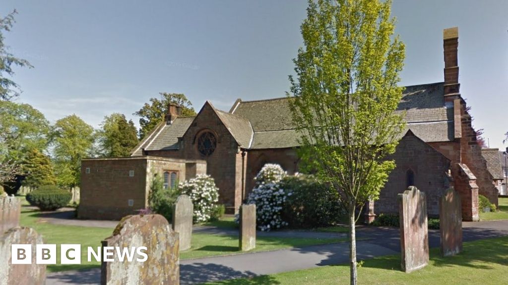 Church (in Ruins), Grave Yd., St. Marks Cross, HChurch · 1.2 mi
 Lacken – Mass Path LoopWalking route · 1.3 mi
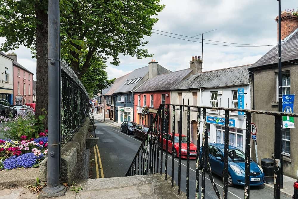 CastleCastle, unclassified · 1.3 mi
 Councillor Jim MileyMemorial · 1.5 mi
 Proclamation of the Irish RepublicMemorial · 1.5 mi
 Blessington DemesneWood · 2.1 mi
 Deer Park PlantationForest · 2.5 mi
 Artisans WorkshopsHeritage attraction · 2.6 mi
Other information
Photo: Credit not shown in the picture search · Rights wording not checked; contact us if this picture should be removed