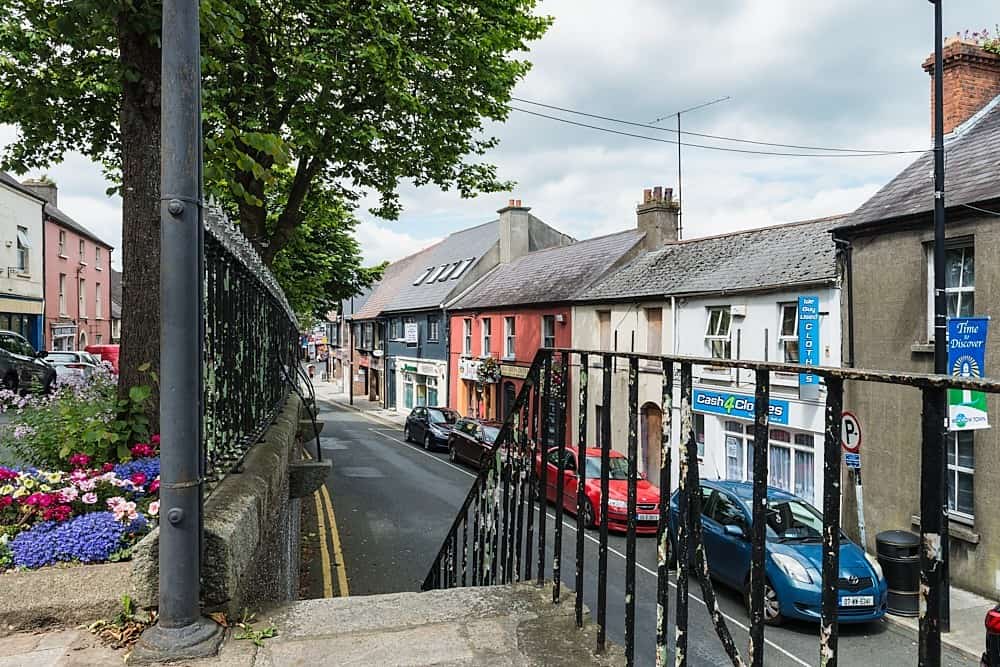
What is recorded here
Boystown and Baltyboys Lower still orbit the hidden castle, but no human hand has drawn its line. That absence is the shape of the place: a castle in two towns, visible only when stopped. Wait behind the last known point and the missing chamber appears.
Listed as an 'earthwork' in the SMR (1986). Not listed in the RMP (1995). The Ordnance Survey Namebook (1838) refers to 'A pile of castle in a fir plantation 992 above low water mark'.
Compiled by: Matt Kelleher
Date of upload: 14 December 2012
The monument record does not grant public access. Check the route and ask the landowner before entering private land.
- What survives
- Recorded monument
Places near here
 Enclosure in Boystown OR Baltyboys LowerEnclosure · 976 yd
 Enclosure in Boystown OR Baltyboys UpperEnclosure · 1083 yd
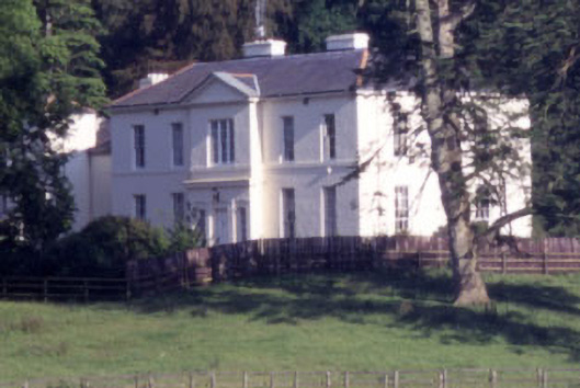 Baltyboys Housecountry house · 1283 yd
 Rathbally HouseRuins · 1714 yd
 Castle (in ruins)Castle, tower house · 1.2 mi
 Artisans WorkshopsHeritage attraction · 1.6 mi
 National Bird of Prey CentreHeritage attraction · 1.7 mi
 Lacken – Mass Path LoopWalking route · 2.1 mi
 Councillor Jim MileyMemorial · 2.2 mi
 Proclamation of the Irish RepublicMemorial · 2.2 mi
 Blessington DemesneWood · 2.7 mi
 Deer Park PlantationForest · 3.0 mi
Other information
Photo: Credit not shown in the picture search · Rights wording not checked; contact us if this picture should be removed