
What is recorded here
This record was created for a circular cropmark enclosure visible on an aerial photograph (GSI N 332/333/356 (1973)). On level marshy ground. No visible surface trace.
Compiled by: Matt Kelleher
Date of upload: 14 December 2012
The monument record does not grant public access. Check the route and ask the landowner before entering private land.
- What survives
- Recorded monument
Places near here
 Rathbally HouseRuins · 817 yd
 Enclosure in TulfarrisEnclosure · 1032 yd
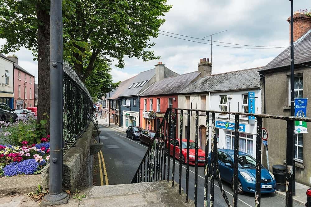 CastleCastle, unclassified · 1083 yd
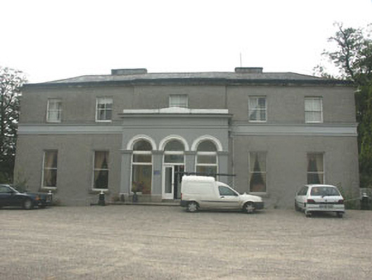 Tulfarris Househouse · 1369 yd
 Enclosure in Burgage MoyleEnclosure · 1.0 mi
 Artisans WorkshopsHeritage attraction · 1.3 mi
 National Bird of Prey CentreHeritage attraction · 1.3 mi
 Castle (in ruins)Castle, tower house · 1.5 mi
 Land Grabber MemorialRuins · 2.3 mi
 Councillor Jim MileyMemorial · 2.5 mi
 Lacken – Mass Path LoopWalking route · 2.7 mi
 Blessington DemesneWood · 3.1 mi
Other information
Photo: Credit not shown in the picture search · Rights wording not checked; contact us if this picture should be removed