What is recorded here
Situated on a NW-facing slope in a field beside an abandoned house. An upright pillar with a rectangular cross-section that could be a scratching stone.
The above description is derived from the published 'Archaeological Inventory of County Monaghan' (Dublin: Stationery Office, 1986). In certain instances the entries have been revised and updated in the light of recent research.
Revised by: Michael Moore
Date of revision: 8 May 2018
The monument record does not grant public access. Check the route and ask the landowner before entering private land.
- What survives
- Recorded monument
Places near here
 Megalithic tomb in CarnroeMegalithic tomb · 340 yd
 CarnroeCairn, unclassified · 343 yd
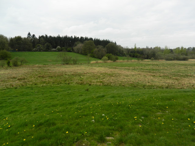 Carn WoodForest · 679 yd
 Cush WoodWood · 1000 yd
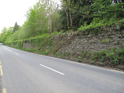 Hilton Parkdemesne walls/gates/railings · 1048 yd
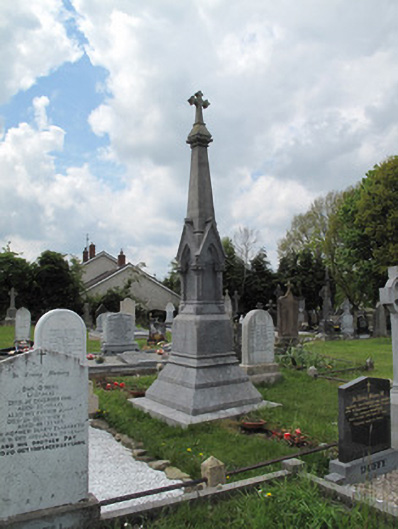 Scotshouse GraveyardGrave monument · 1.0 mi
 LattacrossanMountain / peak · 1.7 mi
 CallowhillMountain / peak · 2.5 mi
 Ulster Canal Stores Visitor CentreHeritage attraction · 3.4 mi
 Abbey RuinsHeritage attraction · 3.5 mi
 Saint John's WellSpring · 3.8 mi
 Drumcarn Ho.Castle, unclassified · 4.3 mi