What is recorded here
Carnagat holds one standing stone, tall enough to mark a boundary, a prayer or a warning, though no human hand remains to explain which. The stone has watched fields change from grass to soil and back again while people forgot the name of the ceremony that placed it there. It still stands because it was set into the earth with patience, not force.
The official Northern Ireland record identifies this as STANDING STONE. Recorded period: UNCERTAIN; PREHISTORIC. The official map point was placed at the centre of the recorded archaeological site from the source map reference.
Likely dating to the Neolithic or Bronze Age, this standing stone may have served a ceremonial, astronomical, or territorial function. No specific folklore or detailed meaning is recorded for this site.
The monument record does not grant public access. Check the route and ask the landowner before entering private land.
- What survives
- Recorded monument
Places near here
 St. Catherine’s PrioryReligious House · 1434 yd
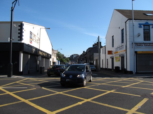 Monaghan Street Car ParkVisitor information · 1474 yd
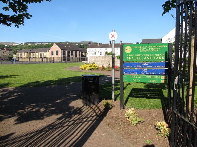 Edward Street Car ParkVisitor information · 1585 yd
 Ballybot BridgeBridge · 1664 yd
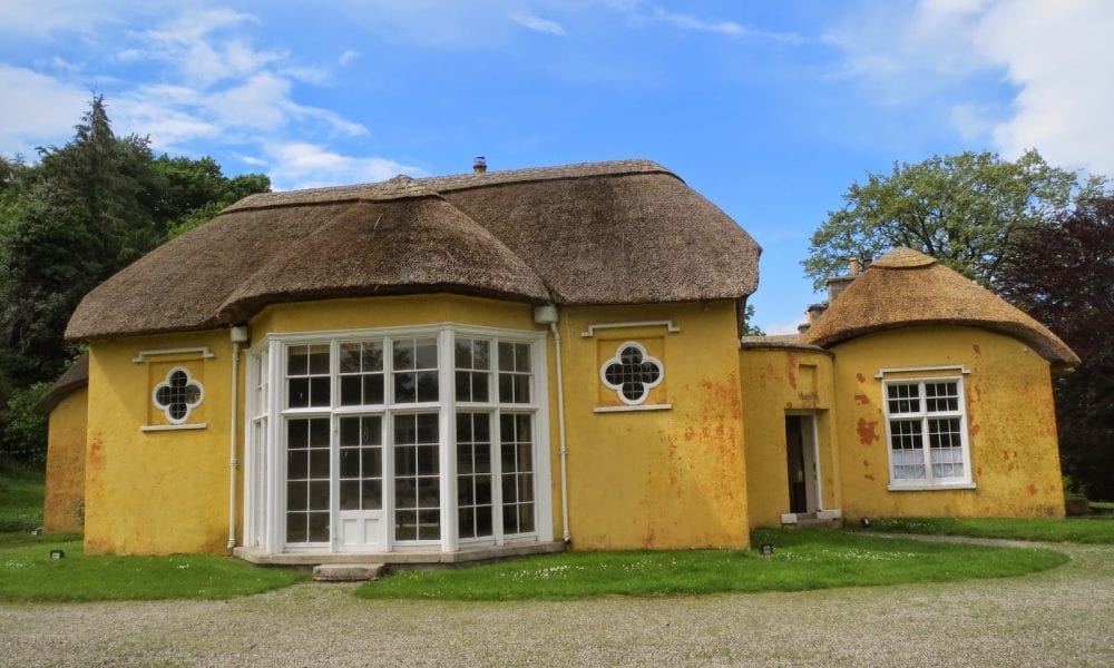 ENCLOSURE in Derry MoreENCLOSURE · 1683 yd
 1971 Newry killingsmassacre · 1745 yd
 Newry CenotaphMemorial · 1.0 mi
 John Mitchel StatueMonument · 1.1 mi
 Bagenal's CastleCastle · 1.1 mi
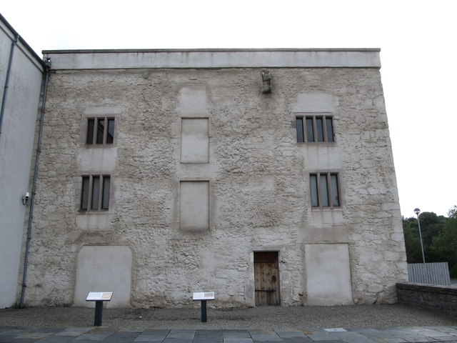 TOWER-HOUSE: BAGENAL'S CASTLE in NewryTOWER-HOUSE: BAGENAL'S CASTLE · 1.1 mi
 Newry and Mourne MuseumMuseum · 1.1 mi
 POST-MEDIEVAL CHURCH & GRAVEYARD: ST. PATRICK'S in NewryPOST-MEDIEVAL CHURCH & GRAVEYARD: ST. PATRICK'S · 1.3 mi