What is recorded here
Carn (gleneely Ed) holds a broad standing stone, half a metre high and a metre wide, lying across fertile ground that slopes toward the River Finn. Its east-west alignment suggests people once read the sky or marked a boundary there, perhaps watching shadows stretch over the valley. The stone has stood through seasons of rain and harvest, waiting for hands to touch its smooth surface and remember what the land already knows.
A standing stone c. 0.6m high × c. 1m wide; E-W. Situated on rich fertile land sloping down to the River Finn.
The above description was derived from the 'Archaeological Survey of County Donegal. A description of the field antiquities of the County from the Mesolithic Period to the 17th century.' Compiled by: Brian Lacey with Eamon Cody, Claire Cotter, Judy Cuppage, Noel Dunne, Vincent Hurley, Celie O'Rahilly, Paul Walsh and Seán Ó Nualláin (Lifford: Donegal County Council, 1983). In certain instances the entries have been revised and updated.
Date of upload: 22 September 2008
The monument record does not grant public access. Check the route and ask the landowner before entering private land.
- What survives
- Recorded monument
Places near here
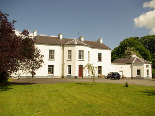 Edenmore Housecountry house · 635 yd
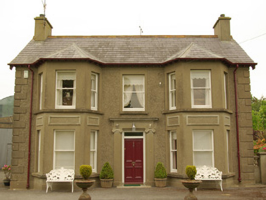 Kia Meuahouse · 1089 yd
 IndicatedFairy fort / ringfort · 1192 yd
 Castle (Site of)Castle, unclassified · 1283 yd
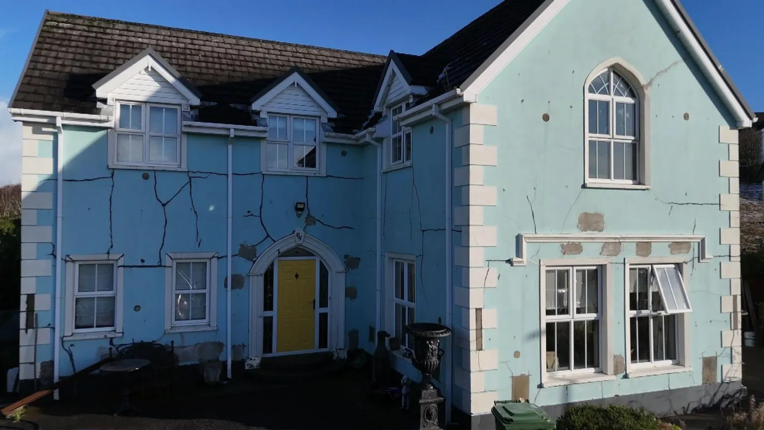 Enclosure in DrumavishEnclosure · 1.1 mi
 Drumboe WoodForest recreation place · 1.6 mi
 Site of CastleCastle, unclassified · 2.4 mi
 Lismullyduff MountainMountain / peak · 3.5 mi
 Gorey HillMountain / peak · 5.4 mi
 Killeter ForestForest · 9.2 mi
 Newmills Corn and Flax MillsHeritage attraction · 9.6 mi
 Battle of Scarrifholisbattle · 9.7 mi