What is recorded here
Situated on a low rise in gently undulating pasture-land. Bog 250m to W. Ringfort (WM006-029----) 400m to NW. Tall slender limestone standing stone (approx. H 2.1m) in SW quadrant of ringfort (WM006-043---). Rectangular in plan and tapering towards the top with some spalling and splitting of the surface due to weathering. The stone has been reused as a scratching post. Vague traces of two concentric slightly grooved or pecked circles on E face. Socket stones visible at base.
Compiled by: Frank Coyne & Caimin O'Brien
Date of upload: 1 February 2017
Probably dates to the Bronze Age or early Iron Age, given its proximity to a ringfort and typical form. It may have had a ritual or territorial function, or marked a boundary or significant landscape feature.
The monument record does not grant public access. Check the route and ask the landowner before entering private land.
- What survives
- Recorded monument
Places near here
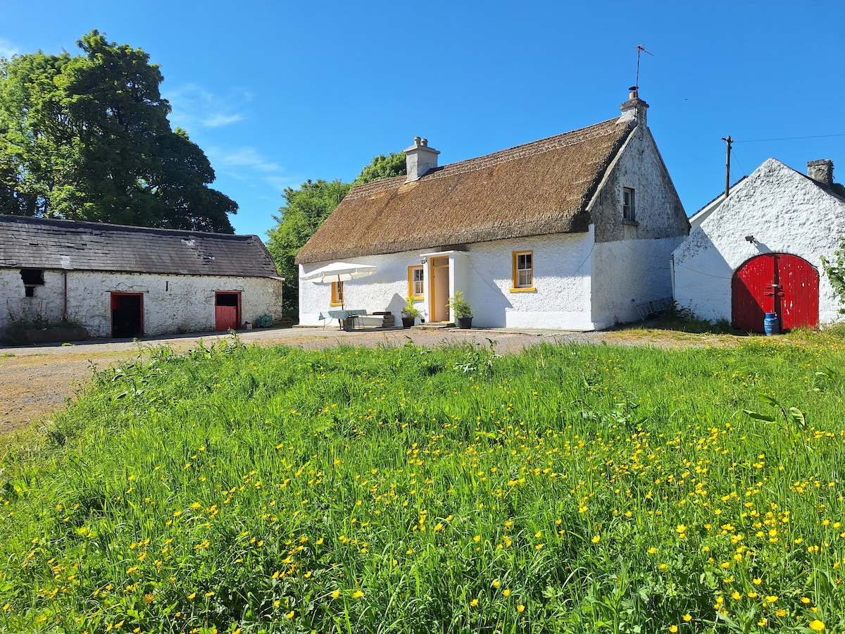 OutlinedCastle, unclassified · 622 yd
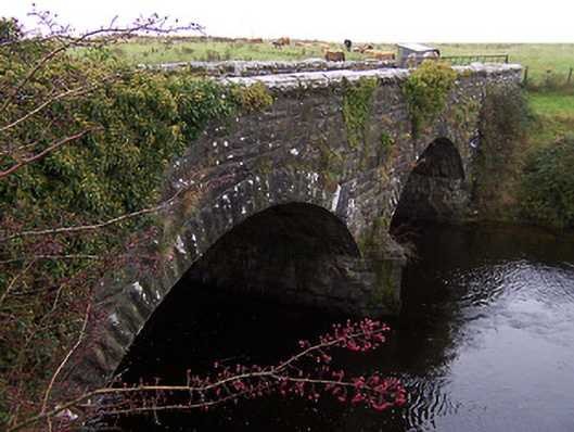 Ballinalack Bridgebridge · 661 yd
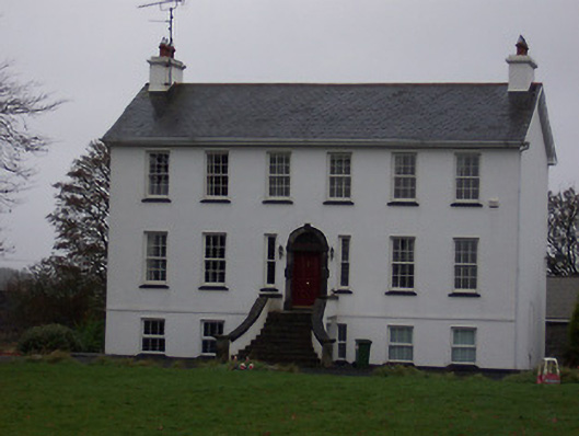 Ballinalack Househouse · 875 yd
 CastleCastle, motte and bailey · 1173 yd
 Partially hachuredFairy fort / earthen ringfort · 1.0 mi
 Crannog in Cullenhugh,lough IronCrannog · 1.7 mi
 Baronstown ForestWood · 2.9 mi
 Horse-chestnutHorse-chestnut · 2.9 mi
 Bridge Memorial (Kenna)Memorial · 3.4 mi
 Carrickphilbin IslandIslet · 5.6 mi
 Rock of CurryCliff · 8.9 mi
 Granard MotteMotte-and-bailey castle remains · 9.6 mi