What is recorded here
Caherkirky holds a massive standing stone, 2.7m high, beside two boulder-burials in flat pasture near the Ihernagh headwaters. The slab narrows towards its base and points northeast-southwest, marking death and memory in the same breath. People may have gathered there to honour the dead, read the sky, or simply witness the weight of stone still standing when everything around it changed.
In flat pasture near headwaters of Ihernagh river. Massive slab (H 2.7m; 1.9m x 0.5m) narrows towards base; long axis NE-SW. Two boulder-burials (CO121-018001-) lie immediately to SW.
The above description is derived from the published 'Archaeological Inventory of County Cork. Volume 1: West Cork' (Dublin: Stationery Office, 1992). In certain instances the entries have been revised and updated in the light of recent research.
Date of upload/revision: 14 January 2009
Probably dates to the Neolithic or Early Bronze Age, given its association with boulder-burials, suggesting a funerary or ritual context. Such stones may have marked territorial boundaries, served as memorials, or been linked to local ancestor veneration.
The monument record does not grant public access. Check the route and ask the landowner before entering private land.
- What survives
- Recorded monument
Places near here
 Boulder-burial in CaherkirkyBoulder-burial · 11 yd
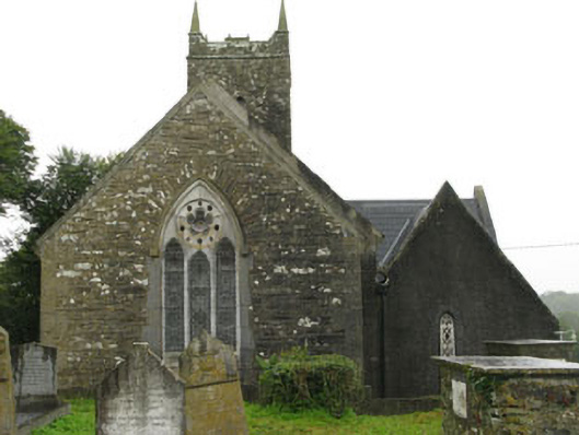 Christ Churchchurch/chapel · 736 yd
 schoolschool · 760 yd
 IndicatedFairy fort / earthen ringfort · 995 yd
 Ballinvard CastleCastle · 1003 yd
 Fahanacowley Castle (Site of)Castle, unclassified · 1637 yd
 Corran HillMountain / peak · 2.1 mi
 Irish National Forestry FoundationNature reserve · 3.4 mi
 The GlenWood · 3.5 mi
 Michael Collins BirthplaceHistoric birthplace · 4.5 mi
 Jeremiah O'Donovan RossaMemorial · 4.6 mi
 Michael Collins MemorialMemorial · 4.8 mi