What is recorded here
On the NE-facing slope of a hill. Indicated on the 1838 edition of the OS 6-inch map as a very small rectangular structure and named 'Stone' in Roman script. No visible surface trace survives. The area to the SE, S and W has been extensively quarried. Possibly the site of standing stone.
Compiled by: Galway Archaeological Survey, UCG
Date of upload: 16 December 2019
The monument record does not grant public access. Check the route and ask the landowner before entering private land.
- What survives
- Recorded monument
Places near here
 IndicatedBawn · 323 yd
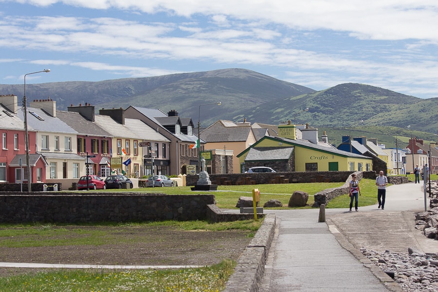 Quarry in CaherhenryhoeQuarry · 453 yd
 Man-made underground passage in CaherhenryhoeMan-made underground passage · 664 yd
 CaveMan-made underground passage · 826 yd
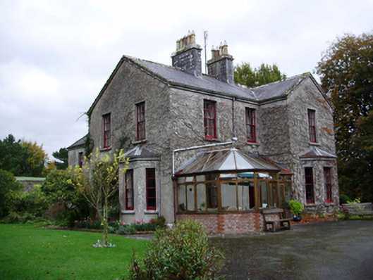 Tooluban Househouse · 1272 yd
 Bawn in Cahernamuck WestBawn · 1.3 mi
 Turoe StoneHeritage attraction · 2.1 mi
 Blake's IslandIslet · 3.3 mi
 Barrack IslandIslet · 3.3 mi
 Long PointHeadland · 4.2 mi
 Moyard WoodWood · 4.4 mi
 Scalpeen RockNamed rock · 8.1 mi