What is recorded here
Caherduggan South holds a 1.3m standing stone, almost square and leaning east across level pasture. Its tapered top and east-west axis suggest deliberate placement rather than accidental bedrock. People may have marked territory, honored ancestors or simply watched storms pass by its steady shadow.
In level pasture. Stone (H 1.3m; 0.55m x 0.5m) is almost square in plan, leaning to E and tapering towards top, long axis E-W.
The above description is derived from the published 'Archaeological Inventory of County Cork. Volume 4: North Cork' (Dublin: Stationery Office, 2000). In certain instances the entries have been revised and updated in the light of recent research.
Date of upload/revision: 14 January 2009
The monument record does not grant public access. Check the route and ask the landowner before entering private land.
- What survives
- Recorded monument
Places near here
 Fulacht fia in Caherduggan SouthFulacht fia · 139 yd
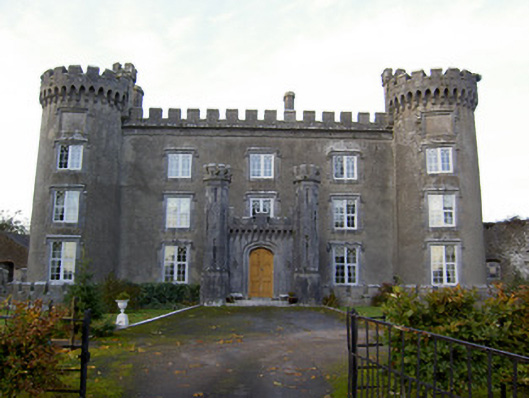 Castle Kevincountry house · 1111 yd
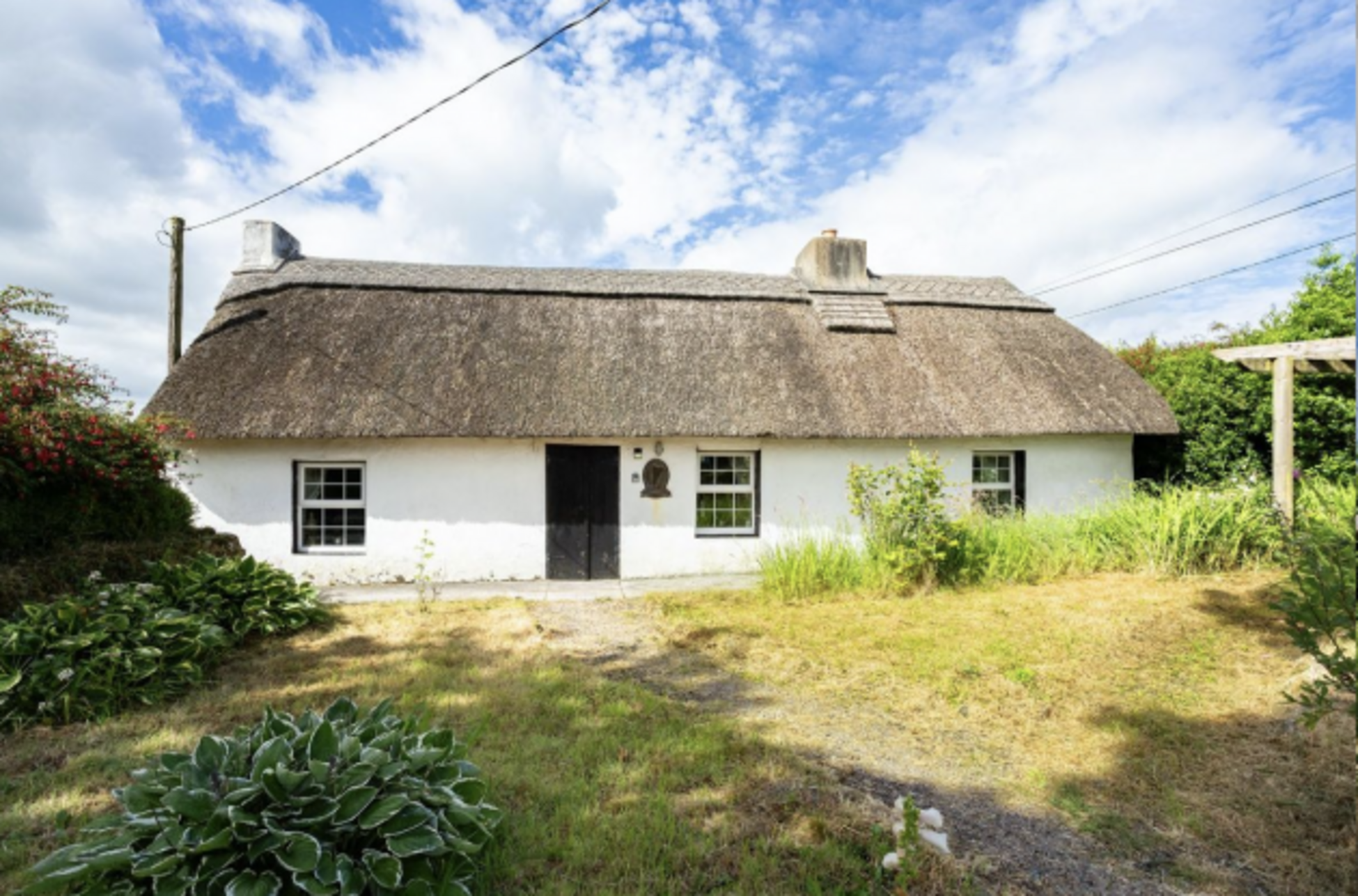
 Wood Viewhouse · 1484 yd
 Fulacht fia in Two-Pot-HouseFulacht fia · 1607 yd
 Caherduggan Castle (Site of)Castle, unclassified · 1.2 mi
 Scots PineScots Pine · 2.7 mi
 Castle (Remains of)Castle, unclassified · 3.1 mi
 In loving memory of Elvis O'DonoghueMemorial · 3.5 mi
 Mallow River TrailVisitor information · 3.6 mi
 Blackwater WayWalking route · 4.1 mi
 Dromaneen CastleHeritage attraction · 5.7 mi
 Anne's Grove GardensHeritage attraction · 6.9 mi