What is recorded here
Meadows may hide or roll back, but the standing stone still points at the lake. It is not a small marker; it is a tall tapering shape set with packing stones, facing the water like a sentinel that never learned to leave. The ogham stone nearby suggests people once lived inside the view, perhaps measuring distance, marking a boundary, or simply keeping the lake company.
In rough pasture, at the foot of a steep NE-facing rocky slope overlooking Lough Reagh. This standing stone (2.12m x 0.5m; H 1.95m), which tapers towards the top, is irregular in plan and is orientated NE-SW. Packing-stones are visible at its base. An ogham stone (KE073-050001-) stands 18m to the N.
The above description is derived from the published 'Archaeological Inventory of County Kerry. Volume I: South-West Kerry' (Dublin: Stationery Office, 2009). In certain instances the entries have been revised and updated in the light of recent research.
Date of upload: 30 May 2011
Dated to the Late Neolithic or Early Bronze Age, this standing stone may have had ceremonial or territorial significance, possibly aligned with solar or lunar events given its orientation. Local folklore sometimes associates such stones with ancient watchposts or markers for otherworldly boundaries.
The monument record does not grant public access. Check the route and ask the landowner before entering private land.
- What survives
- Recorded monument
Places near here
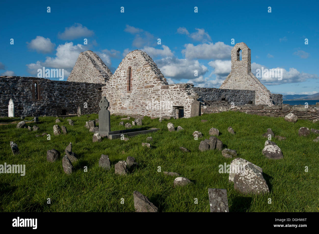 Enclosure in BunbinniaEnclosure · 772 yd
 Enclosure in Curragh MoreEnclosure · 1578 yd
 KnocknabreedaMountain / peak · 1643 yd
 BroaghnabinniaMountain / peak · 1696 yd
 CarrauntoohilMountain / peak · 2.4 mi
 Crash site of USAAF DakotaHeritage attraction · 2.6 mi
 Eirk Bog Nature ReserveNature reserve · 2.8 mi
 Devil's Ladder RouteWalking route · 2.9 mi
 Moll's GapViewpoint · 3.4 mi
 Head of DunloeViewpoint · 3.8 mi
 Lord Brandon's CottageRuins · 4.3 mi
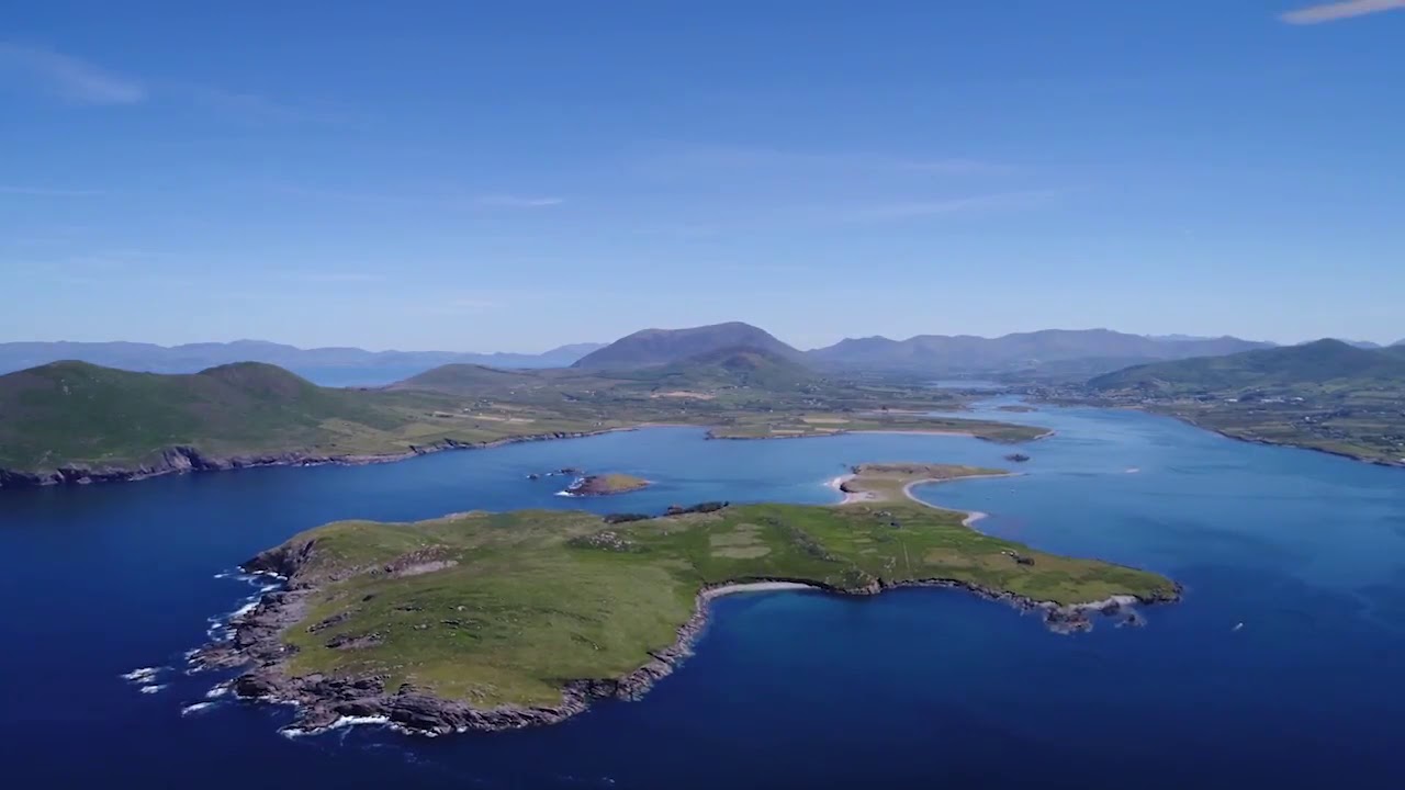 McCarthy's IslandIslet · 5.0 mi