What is recorded here
Marked only on the 1940 ed. of the OS 6-inch map, and situated on the floor of the W-E Blackwater Stream which is c. 30m to the N. It was described in 1939 as having a rectangular cross-section (dims c. 0.5m E-W; c. 0.1-0.2m N-S; H c. 0.5m) (OSFM). It was not visible at ground level in pasture in 1987. The possible standing stone (WX006-010----) is c. 230m to the SSW and the possible standing stone (WX006-012----) is c. 100m to the NE on the other side of the stream.
The obove description is derived from the published 'Archaeological Inventory of County Wexford' (Dublin: Stationery Office, 1996). In certain instances the entries have been revised and updated in the light of recent research.
Date of upload/revision: 20 November, 2012
Likely dating to the Neolithic or Bronze Age, this standing stone may have functioned as a boundary marker or ritual feature. Its placement near a stream suggests possible associations with water-related beliefs or territorial demarcation.
The monument record does not grant public access. Check the route and ask the landowner before entering private land.
- What survives
- Recorded monument
Places near here
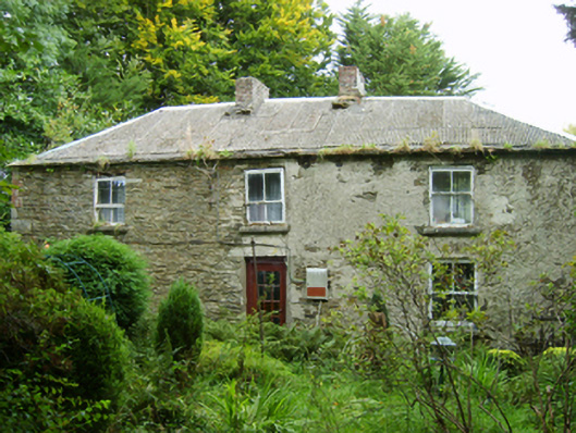 farm housefarm house · 640 yd
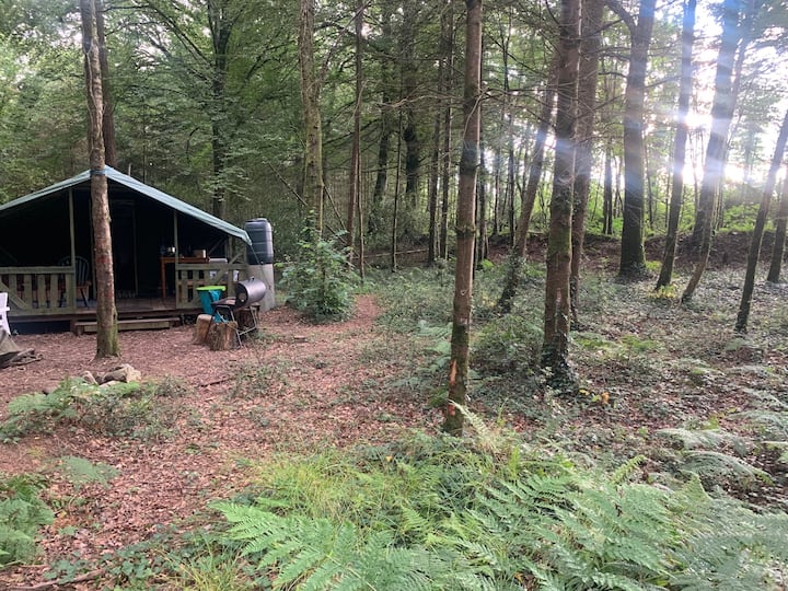 Embanked enclosureFairy fort / ringfort · 765 yd
 Kilbride Grave YardChurch · 920 yd
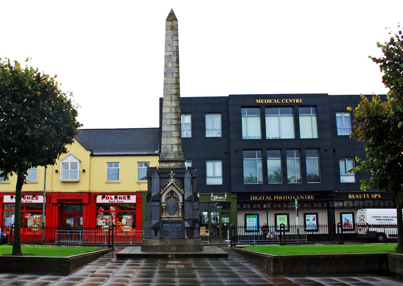 IndicatedFairy fort / earthen ringfort · 1624 yd
 Mountnebo WoodForest · 1.1 mi
 Kilmichael HillMountain / peak · 1.2 mi
 Craan HillMountain / peak · 1.8 mi
 Ballingarry WoodForest · 1.9 mi
 CastleCastle, motte · 2.7 mi
 1798 MemorialMemorial · 4.0 mi
 1798 MonumentMemorial · 4.4 mi
 Saint Brigid's WellSpring · 4.4 mi