What is recorded here
Boardee holds a three-metre stone dumped beside the road after reclamation broke its partner. The surviving marker keeps the old field line while the lost half turned to chips.
This record constitutes the original location for one of two upright stones which, according to local information, formed part of a field boundary. During land reclamation, one stone (CO099-099----) was broken up; the second stone (CO099-109----) (3.1mx 1m x 0.9m) was dumped next to the roadside field boundary. (pers. comm. S. O'Mahony)
Compiled by: Archaeological Survey Unit, UCC
Date of upload: 20 January 2010
Likely dating to the Late Neolithic or Bronze Age, the standing stone in Boardee may have marked territorial boundaries or had ritual significance, as was common with such monuments in prehistoric Britain. Local traditions sometimes associate these stones with folklore or ancestral memory, though specific stories are not recorded.
The monument record does not grant public access. Check the route and ask the landowner before entering private land.
- What survives
- Recorded monument
Places near here
 Mass-rock in BoardeeMass-rock · 734 yd
 Enclosure in BoardeeEnclosure · 918 yd
 Quarry in BoardeeQuarry · 1150 yd
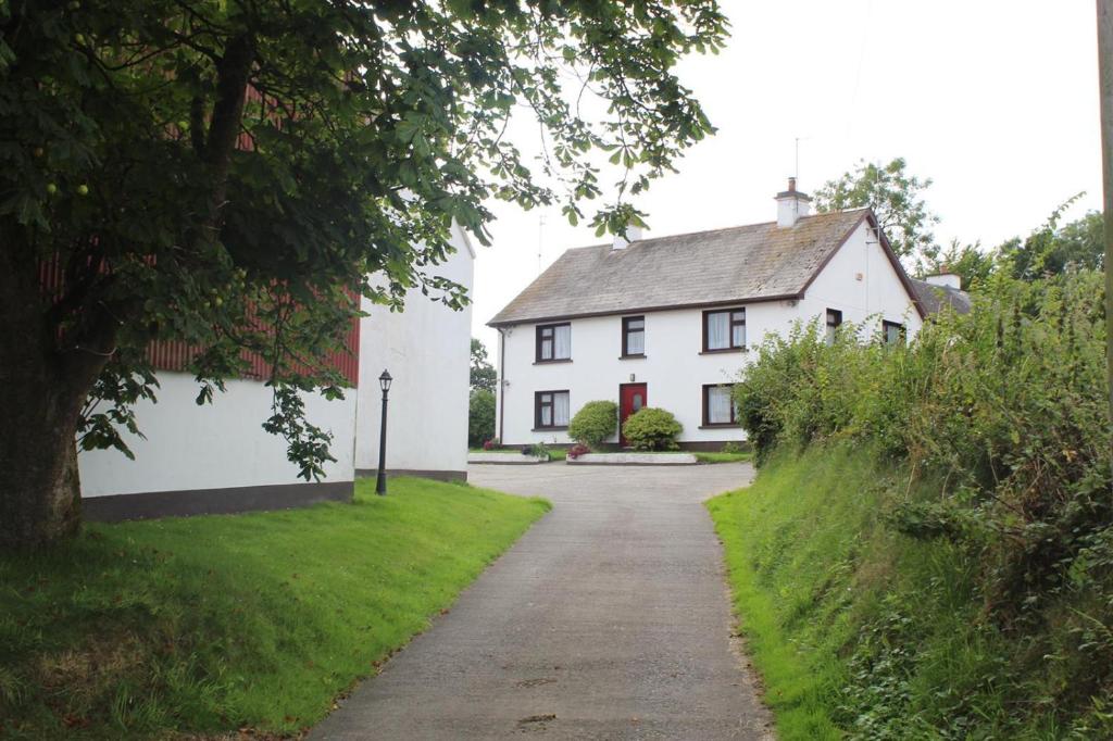 Country house in BoardeeCountry house · 1515 yd
 Cogan's CastleCastle · 2.2 mi
 Ballea CastleCastle, tower house · 2.4 mi
 Coolmore WoodWood · 3.0 mi
 Loughbeg Bird ReserveNature reserve · 3.7 mi
 St Laitiarain's WellSpring · 3.8 mi
 Fountainstown BeachBeach / strand · 3.8 mi
 William Warren Baldwin plaqueMemorial · 4.3 mi
 Pauper's GraveyardArchaeological place · 4.4 mi