What is recorded here
On an elevation in undulating pasture, with a view in all directions over the surrounding countryside. This standing stone (1.3m x 0.8m; H 1.13m) is roughly oval in plan and is orientated NE-SW. It narrows towards the SW side as it rises. Traces of two crescent-shaped grooves (L c. 0.5m; Wth 0.05m; D 0.01m) are visible on the SW side of the standing stone.
The above description is derived from 'The Archaeological Inventory of County Cork. Volume 5' (Dublin: Stationery Office, 2009).
Date of upload: 22 December 2009
The monument record does not grant public access. Check the route and ask the landowner before entering private land.
- What survives
- Recorded monument
Places near here
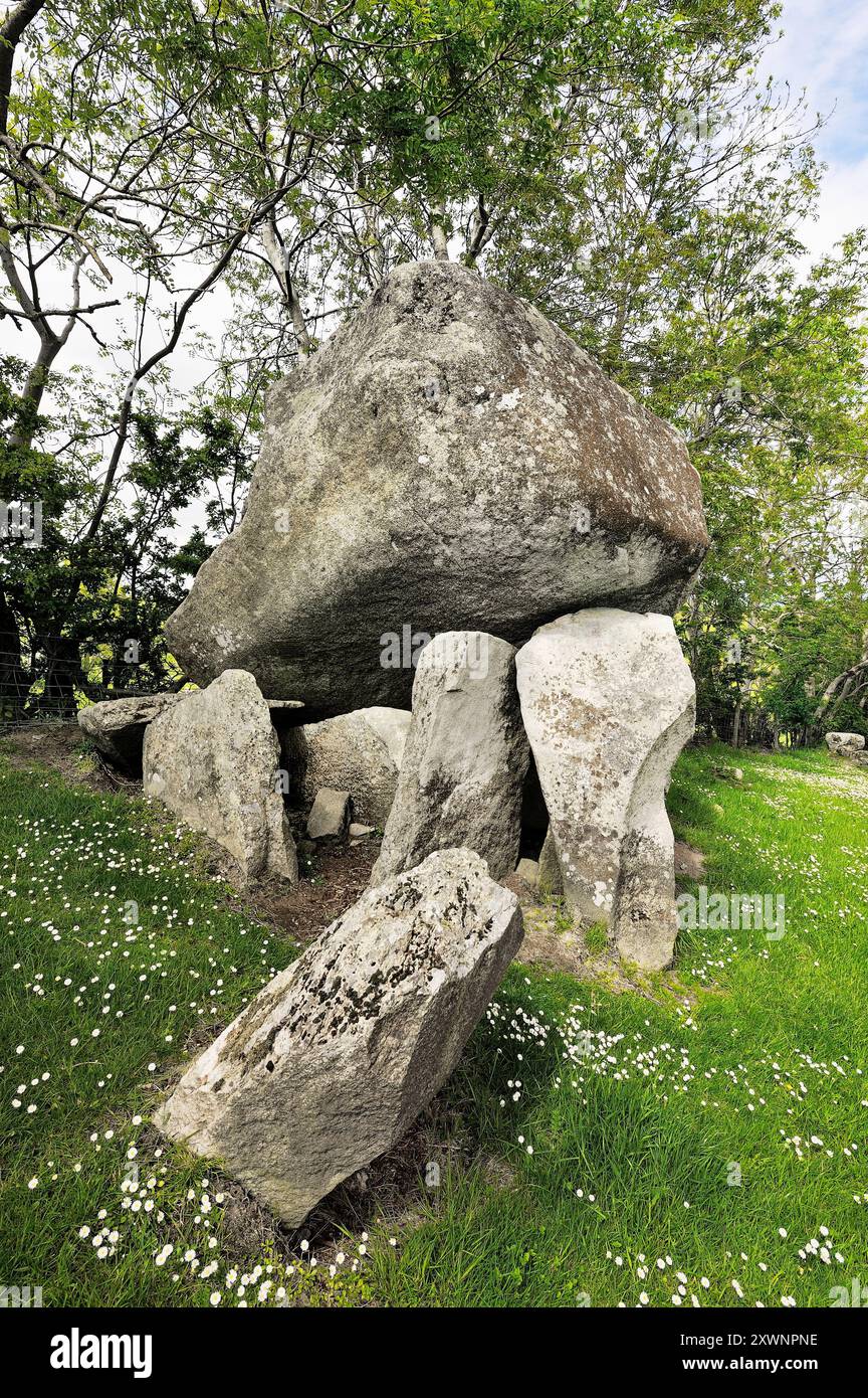 CloghmoreBoulder-burial · 378 yd
 Rheena Dhunacountry house · 430 yd
 Childrens Burial Gd (Disused)Burial ground · 750 yd
 church/chapelchurch/chapel · 930 yd
 Donegall Castle (in Ruins)Castle, unclassified · 1.2 mi
 Monterey CypressMonterey Cypress · 1.5 mi
 Wild Atlantic WayVisitor information · 1.7 mi
 Mannin BegIslet · 1.9 mi
 Ringarogy IslandIsland · 1.9 mi
 Kilcoe CastleCastle · 1.9 mi
 KnockomaghMountain / peak · 2.9 mi
 Wave Chieftain Whale WatchingHeritage attraction · 3.1 mi