What is recorded here
Baurgorm holds two possible standing stones separated by a hundred metres, one buried partly in gorse on an east-facing slope above the Owennashingaun River. The nearer stone stands ninety centimetres tall, rectangular and aligned northwest to southeast, while rough pasture and briars hide much of its shape. It is easy to imagine people walking that terrace at dawn, reading the valley light or marking a boundary nobody remembers.
In rough pasture, partially covered with gorse and briars, on a terrace on an E-facing hillslope overlooking the valley of the Owennashingaun River. This possible standing stone (1.2m x 0.3m; H 0.9m) is rectangular in plan and is orientated NW-SE. Another possible standing stone (CO118-091001-) is situated c. 100m to the ESE.
The above description is derived from 'The Archaeological Inventory of County Cork. Volume 5' (Dublin: Stationery Office, 2009).
Date of upload: 22 December 2009
The monument record does not grant public access. Check the route and ask the landowner before entering private land.
- What survives
- Recorded monument
Places near here
 Killean Burial GroundBurial ground · 121 yd
 farm housefarm house · 659 yd
 Burial Ground (Disused)Burial ground · 879 yd
 Baugorm Castle (Site of)Castle, unclassified · 953 yd
 Trawlebane WalkWalking route · 1308 yd
 Seskin ViewViewpoint · 1.4 mi
 Scart Castle (Site of)Castle, unclassified · 1.6 mi
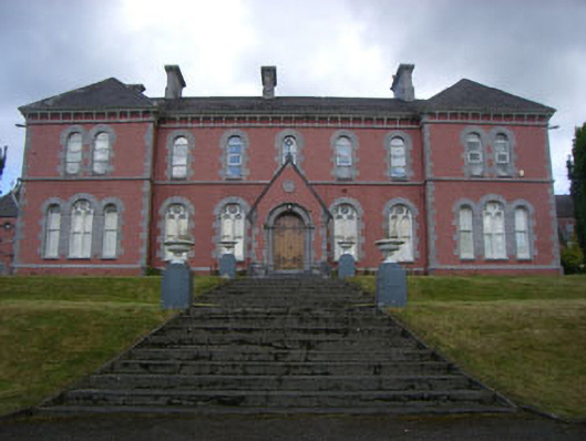 Convent of Mercyconvent/nunnery · 1.7 mi
 Francis O'Neill PlaqueMemorial · 1.8 mi
 Graveyard in TownlotsGraveyard · 1.8 mi
 Tourist OfficeVisitor information · 2.0 mi
 GinkgoGinkgo · 2.5 mi