What is recorded here
Located at the crest of the SW-facing slope of a NW-SE stream valley. This is an Old Red Sandstone upright (dims. 0.8m x 0.4m; H 1.4m) oriented ENE-WSW.
The above description is derived from the published 'Archaeological Inventory of County Waterford' (Dublin: Stationery Office, 1999). In certain instances the entries have been revised and updated in the light of recent research.
Date of upload/revision: 23 December 2008
The monument record does not grant public access. Check the route and ask the landowner before entering private land.
- What survives
- Recorded monument
Places near here
 IndicatedFairy fort / earthen ringfort · 696 yd
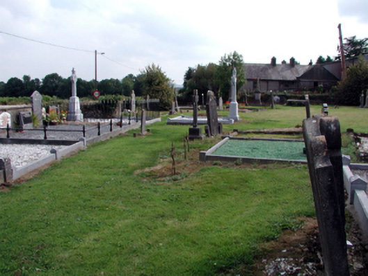 graveyard/cemeterygraveyard/cemetery · 1059 yd
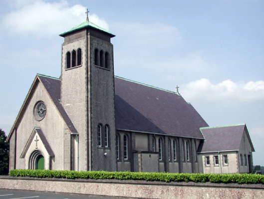 Catholic Church of the Sacred Heart of Jesuschurch/chapel · 1180 yd
 Enclosure in CarrowleighEnclosure · 1247 yd
 MoteCastle, motte and bailey · 1442 yd
 Feddans CastleRuins · 1500 yd
 Coolnamuck Wood WestForest · 2.7 mi
 Churchtown WoodForest · 2.9 mi
 Curraheen TrailsVisitor information · 3.1 mi
 The Boolas LoopWalking route · 3.3 mi
 The Boolas Linear TrailWalking route · 3.6 mi
 LackaduffMountain / peak · 3.6 mi