
What is recorded here
Marked as a circular embanked enclosure (ext. diam. c. 40m) on the 1840 and 1927 eds of the OS 6-inch map, and situated on a gentle W-facing slope. Subcircular area (dims. 31m NW-SE; 29m NE-SW) defined by an earthen bank (Wth 4-5m; max. int. H 0.6m; ext. H 1-1.3m). The entrance (Wth 2.4m) is at SSE, and there is no visible fosse. It is planted with mature coniferous trees.
The above description is derived from the published 'Archaeological Inventory of County Waterford' (Dublin: Stationery Office, 1999). In certain instances the entries have been revised and updated in the light of recent research.
Compiled by: Michael Moore
Date of upload/revision: 28 October 2010
The monument record does not grant public access. Check the route and ask the landowner before entering private land.
- What survives
- Recorded monument
Places near here
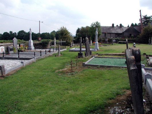 graveyard/cemeterygraveyard/cemetery · 786 yd
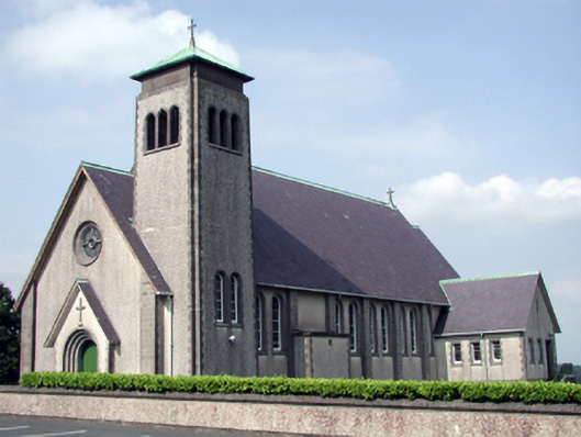 Catholic Church of the Sacred Heart of Jesuschurch/chapel · 829 yd
 Enclosure in CarrowleighEnclosure · 1198 yd
 Grave YardGraveyard · 1400 yd
 Bawn in RathgormuckBawn · 1498 yd
 MoteCastle, motte and bailey · 1661 yd
 Curraheen TrailsVisitor information · 2.7 mi
 The Boolas LoopWalking route · 2.9 mi
 Coolnamuck Wood WestForest · 2.9 mi
 Churchtown WoodForest · 3.1 mi
 The Boolas Linear TrailWalking route · 3.2 mi
 LackaduffMountain / peak · 3.3 mi
Other information
Photo: Credit not shown in the picture search · Rights wording not checked; contact us if this picture should be removed