What is recorded here
Located on top of a vertical sea cliff, it is known locally as 'The White Lady'. This is a conglomerate stone with a subrectangular cross-section (dims. 1m x 0.3-0.55m; H 1.77m) oriented NW-SE. The top is damaged by frost action, leaving a central high point like a head rising above shoulders. (Decie 1983, 56)
Decie (1983) Old Waterford Society survey. Decies, No. 16, 24, 42-57.
The above description is derived from the published 'Archaeological Inventory of County Waterford' (Dublin: Stationery Office, 1999). In certain instances the entries have been revised and updated in the light of recent research.
Compiled by: Michael Moore
Date of upload/revision: 10 June 2011
Likely dating to the Bronze Age, the stone's orientation and coastal location may indicate a ritual or territorial function. Local folklore associates it with 'The White Lady,' suggesting a tradition of supernatural or ancestral significance.
The monument record does not grant public access. Check the route and ask the landowner before entering private land.
- What survives
- Recorded monument
Places near here
 The White LadyArchaeological place · 4 yd
 Rathmoylan-Ballymacaw Cliff WalkWalking route · 181 yd
 Rathmoylan CoveBeach / strand · 354 yd
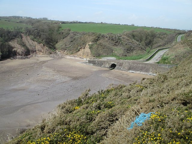 Ballymacaw CoveBeach / strand · 777 yd
 South East Coastal DriveVisitor information · 915 yd
 Field system in RathmoylanField system · 958 yd
 Church in ruinsChurch · 987 yd
 Portally-Rathmoylan Cliff WalkWalking route · 1327 yd
 Main ForestWood · 1.7 mi
 Corbally Moreoutbuilding · 1.8 mi
 Lower ForestWood · 1.8 mi
 Settlement desertedSettlement deserted, medieval · 983 yd