
What is recorded here
Located in pasture in a field traditionally called 'An Seana Sraid' (Power 1952, 221). According to local accounts the removal of the S field boundary c. 1970 revealed the remains of an old road and house foundations. Nothing is visible at ground level.
Power, Rev. P. (1952) The placenames of the Decies. (second ed.) Cork University Press.
The above description is derived from the published 'Archaeological Inventory of County Waterford' (Dublin: Stationery Office, 1999). In certain instances the entries have been revised and updated in the light of recent research.
Compiled by: Michael Moore
Date of upload/revision: 10 June 2011
The monument record does not grant public access. Check the route and ask the landowner before entering private land.
- What survives
- Recorded monument
Places near here
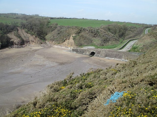 Ballymacaw CoveBeach / strand · 247 yd
 Settlement cluster in Coolum (gaultiere By., Rathmoylan Par.)Settlement cluster · 510 yd
 South East Coastal DriveVisitor information · 593 yd
 Rathmoylan-Ballymacaw Cliff WalkWalking route · 812 yd
 The White LadyArchaeological place · 979 yd
 Rathmoylan CoveBeach / strand · 1337 yd
 Church in ruinsChurch · 1.0 mi
 Main ForestWood · 1.3 mi
 Corbally Moreoutbuilding · 1.3 mi
 Portally-Rathmoylan Cliff WalkWalking route · 1.3 mi
 Lower ForestWood · 1.4 mi
 The Baldy ManViewpoint · 1.9 mi
Other information
Photo: Credit not shown in the picture search · Rights wording not checked; contact us if this picture should be removed