What is recorded here
That is the Ballyisland story. A tall rectangular stone still stands on a pasture ridge in County Cork, narrowing slightly near the top like a finger pressing through grass. People may have set it there to mark a boundary, honour someone or watch the neighebour field.
In rough pasture, near the NW side of a NE-SW mixed pasture ridge. This standing stone (0.65m x 0.18m; H 1.58m) is rectangular in plan and is orientated NE-SW. It narrows slightly towards the top.
The above description is derived from 'The Archaeological Inventory of County Cork. Volume 5' (Dublin: Stationery Office, 2009).
Date of upload: 22 December 2009
The monument record does not grant public access. Check the route and ask the landowner before entering private land.
- What survives
- Recorded monument
Places near here
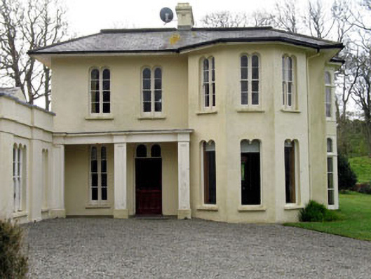 Lough Ine Househunting/fishing lodge · 441 yd
 ClochánCastle · 584 yd
 Kill Burial Gd (Childrens)Burial ground · 699 yd
 Templebreedy (in Ruins)Church · 811 yd
 Wild Atlantic Way:Lough HyneVisitor information · 859 yd
 Trá na BóBeach / strand · 904 yd
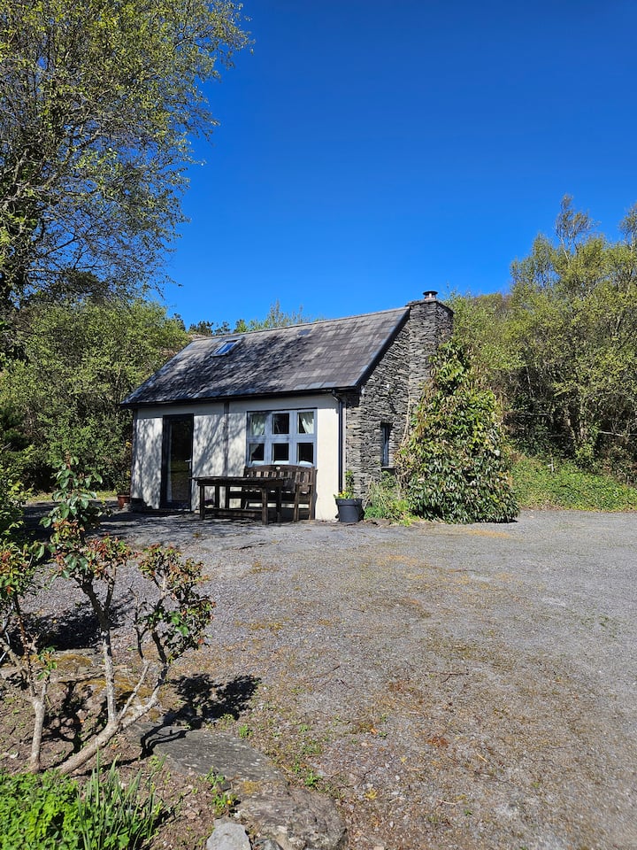 Hut site in GlannafeenHut site · 1110 yd
 TralispeanBeach / strand · 1293 yd
 Bullock IslandIslet · 1302 yd
 Walk 5 - Lough Hyne (7km)Walking route · 1450 yd
 KnockomaghMountain / peak · 1727 yd
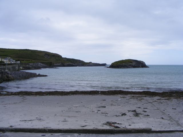 Drishane IslandIslet · 1.1 mi